Item 2231887
Map
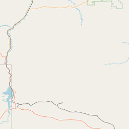
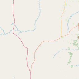
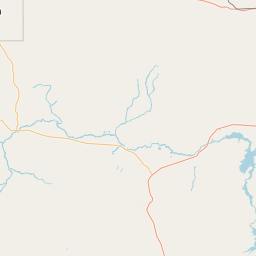
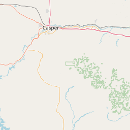
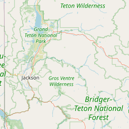
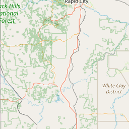
Leaflet | <a href="https://www.openstreetmap.org/copyright">© OpenStreetMap contributors</a>
Item
| Property | Value |
|---|---|
| id | 2231887 |
| downstream_mainstem_id | |
| encompassing_mainstem_basins | |
| featuretype | ['https://www.opengis.net/def/schema/hy_features/hyf/HY_FlowPath', 'https://www.opengis.net/def/schema/hy_features/hyf/HY_WaterBody'] |
| fid | 17802 |
| head_2020huc12 | 101800070706 |
| head_nhdpv1_comid | 22101939 |
| head_nhdpv2_comid | https://geoconnex.us/nhdplusv2/comid/22101939 |
| head_nhdpv2huc12 | https://geoconnex.us/nhdplusv2/huc12/101800070806 |
| head_rf1id | None |
| lengthkm | 16.2 |
| name_at_outlet | |
| name_at_outlet_gnis_id | None |
| new_mainstemid | |
| outlet_2020huc12 | 101800070706 |
| outlet_drainagearea_sqkm | 273.0 |
| outlet_nhdpv1_comid | 22102031 |
| outlet_nhdpv2_comid | https://geoconnex.us/nhdplusv2/comid/22102031 |
| outlet_nhdpv2huc12 | https://geoconnex.us/nhdplusv2/huc12/101800070806 |
| outlet_rf1id | None |
| superseded | False |
| uri | https://geoconnex.us/ref/mainstems/2231887 |