Goddard Brook
Map
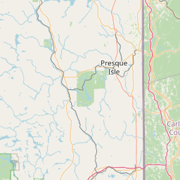
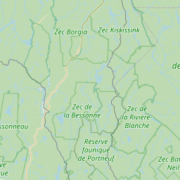
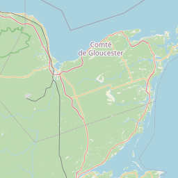
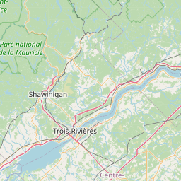
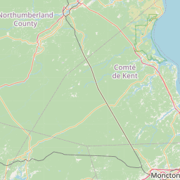
Leaflet | <a href="https://www.openstreetmap.org/copyright">© OpenStreetMap contributors</a>
Item
| Property | Value |
|---|---|
| id | 2239098 |
| downstream_mainstem_id | https://geoconnex.us/ref/mainstems/2238897 |
| encompassing_mainstem_basins | ['https://geoconnex.us/ref/mainstems/2238897', 'https://geoconnex.us/ref/mainstems/2238615', 'https://geoconnex.us/ref/mainstems/2238467'] |
| featuretype | ['https://www.opengis.net/def/schema/hy_features/hyf/HY_FlowPath', 'https://www.opengis.net/def/schema/hy_features/hyf/HY_WaterBody'] |
| fid | 29 |
| head_2020huc12 | 010100030308 |
| head_nhdpv1_comid | 725376 |
| head_nhdpv2_comid | https://geoconnex.us/nhdplusv2/comid/725376 |
| head_nhdpv2huc12 | https://geoconnex.us/nhdplusv2/huc12/010100030308 |
| head_rf1id | 1984 |
| lengthkm | 28.4 |
| name_at_outlet | Goddard Brook |
| name_at_outlet_gnis_id | 566856 |
| new_mainstemid | |
| outlet_2020huc12 | 010100030308 |
| outlet_drainagearea_sqkm | 145.8 |
| outlet_nhdpv1_comid | 724786 |
| outlet_nhdpv2_comid | https://geoconnex.us/nhdplusv2/comid/724786 |
| outlet_nhdpv2huc12 | https://geoconnex.us/nhdplusv2/huc12/010100030308 |
| outlet_rf1id | 2003 |
| superseded | False |
| uri | https://geoconnex.us/ref/mainstems/2239098 |