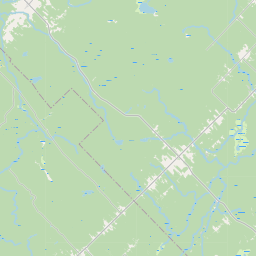
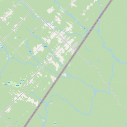
Glazier Brook
Map
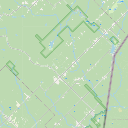
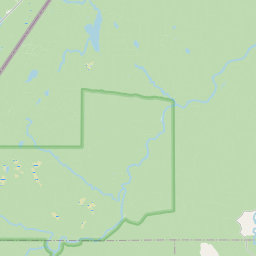

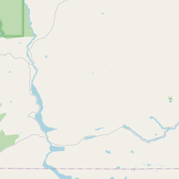
Leaflet | <a href="https://www.openstreetmap.org/copyright">© OpenStreetMap contributors</a>
Item
| Property | Value |
|---|---|
| id | 2241459 |
| downstream_mainstem_id | https://geoconnex.us/ref/mainstems/2239036 |
| encompassing_mainstem_basins | ['https://geoconnex.us/ref/mainstems/2239036', 'https://geoconnex.us/ref/mainstems/2238856', 'https://geoconnex.us/ref/mainstems/2238467'] |
| featuretype | ['https://www.opengis.net/def/schema/hy_features/hyf/HY_FlowPath', 'https://www.opengis.net/def/schema/hy_features/hyf/HY_WaterBody'] |
| fid | 107 |
| head_2020huc12 | 010100070302 |
| head_nhdpv1_comid | 4289293 |
| head_nhdpv2_comid | https://geoconnex.us/nhdplusv2/comid/4289293 |
| head_nhdpv2huc12 | |
| head_rf1id | None |
| lengthkm | 4.8 |
| name_at_outlet | Glazier Brook |
| name_at_outlet_gnis_id | 566828 |
| new_mainstemid | |
| outlet_2020huc12 | 010100070302 |
| outlet_drainagearea_sqkm | 51.0 |
| outlet_nhdpv1_comid | 4289293 |
| outlet_nhdpv2_comid | https://geoconnex.us/nhdplusv2/comid/4289293 |
| outlet_nhdpv2huc12 | |
| outlet_rf1id | None |
| superseded | False |
| uri | https://geoconnex.us/ref/mainstems/2241459 |