North Branch Presque Isle Stream
Map
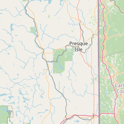
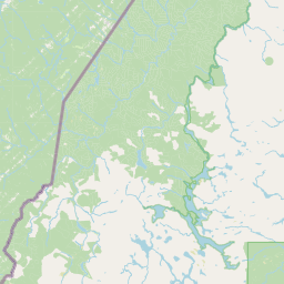
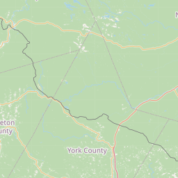
Leaflet | <a href="https://www.openstreetmap.org/copyright">© OpenStreetMap contributors</a>
Item
| Property | Value |
|---|---|
| id | 2241994 |
| downstream_mainstem_id | https://geoconnex.us/ref/mainstems/2241822 |
| encompassing_mainstem_basins | ['https://geoconnex.us/ref/mainstems/2241822', 'https://geoconnex.us/ref/mainstems/2241625'] |
| featuretype | ['https://www.opengis.net/def/schema/hy_features/hyf/HY_FlowPath', 'https://www.opengis.net/def/schema/hy_features/hyf/HY_WaterBody'] |
| fid | 64 |
| head_2020huc12 | 010100041007 |
| head_nhdpv1_comid | 804285 |
| head_nhdpv2_comid | https://geoconnex.us/nhdplusv2/comid/804285 |
| head_nhdpv2huc12 | https://geoconnex.us/nhdplusv2/huc12/010100041007 |
| head_rf1id | 202 |
| lengthkm | 23.6 |
| name_at_outlet | North Branch Presque Isle Stream |
| name_at_outlet_gnis_id | 572286 |
| new_mainstemid | |
| outlet_2020huc12 | 010100041007 |
| outlet_drainagearea_sqkm | 109.6 |
| outlet_nhdpv1_comid | 805561 |
| outlet_nhdpv2_comid | https://geoconnex.us/nhdplusv2/comid/805561 |
| outlet_nhdpv2huc12 | https://geoconnex.us/nhdplusv2/huc12/010100041007 |
| outlet_rf1id | 202 |
| superseded | False |
| uri | https://geoconnex.us/ref/mainstems/2241994 |