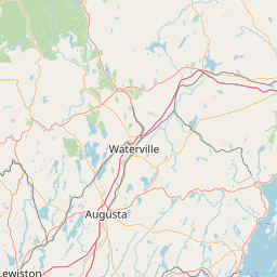
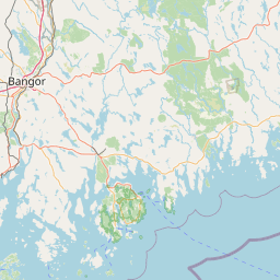
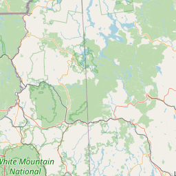
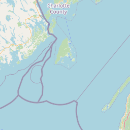
Mann Brook
Map
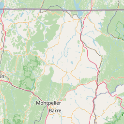

Leaflet | <a href="https://www.openstreetmap.org/copyright">© OpenStreetMap contributors</a>
Item
| Property | Value |
|---|---|
| id | 2255095 |
| downstream_mainstem_id | https://geoconnex.us/ref/mainstems/1853898 |
| encompassing_mainstem_basins | ['https://geoconnex.us/ref/mainstems/1853898'] |
| featuretype | ['https://www.opengis.net/def/schema/hy_features/hyf/HY_FlowPath', 'https://www.opengis.net/def/schema/hy_features/hyf/HY_WaterBody'] |
| fid | 251 |
| head_2020huc12 | 010200051004 |
| head_nhdpv1_comid | 2679808 |
| head_nhdpv2_comid | https://geoconnex.us/nhdplusv2/comid/2679808 |
| head_nhdpv2huc12 | |
| head_rf1id | 1672 |
| lengthkm | 25.0 |
| name_at_outlet | Mann Brook |
| name_at_outlet_gnis_id | 570699 |
| new_mainstemid | |
| outlet_2020huc12 | 010500021215 |
| outlet_drainagearea_sqkm | 158.3 |
| outlet_nhdpv1_comid | 2681424 |
| outlet_nhdpv2_comid | https://geoconnex.us/nhdplusv2/comid/2681424 |
| outlet_nhdpv2huc12 | |
| outlet_rf1id | 1681 |
| superseded | False |
| uri | https://geoconnex.us/ref/mainstems/2255095 |