Jug Stream
Map
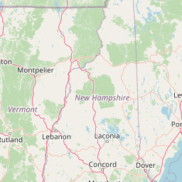
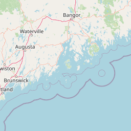
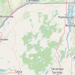
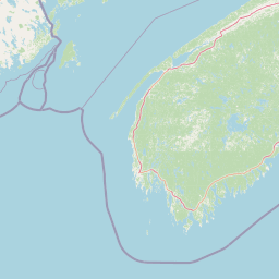
Leaflet | <a href="https://www.openstreetmap.org/copyright">© OpenStreetMap contributors</a>
Item
| Property | Value |
|---|---|
| id | 2258137 |
| downstream_mainstem_id | https://geoconnex.us/ref/mainstems/2257724 |
| encompassing_mainstem_basins | ['https://geoconnex.us/ref/mainstems/2257724'] |
| featuretype | ['https://www.opengis.net/def/schema/hy_features/hyf/HY_FlowPath', 'https://www.opengis.net/def/schema/hy_features/hyf/HY_WaterBody'] |
| fid | 337 |
| head_2020huc12 | 010300032301 |
| head_nhdpv1_comid | 3325748 |
| head_nhdpv2_comid | https://geoconnex.us/nhdplusv2/comid/3325748 |
| head_nhdpv2huc12 | https://geoconnex.us/nhdplusv2/huc12/010300032301 |
| head_rf1id | 1641 |
| lengthkm | 70.2 |
| name_at_outlet | Jug Stream |
| name_at_outlet_gnis_id | 569017 |
| new_mainstemid | |
| outlet_2020huc12 | 010300032309 |
| outlet_drainagearea_sqkm | 561.5 |
| outlet_nhdpv1_comid | 3325582 |
| outlet_nhdpv2_comid | https://geoconnex.us/nhdplusv2/comid/3325582 |
| outlet_nhdpv2huc12 | https://geoconnex.us/nhdplusv2/huc12/010300032309 |
| outlet_rf1id | 722 |
| superseded | False |
| uri | https://geoconnex.us/ref/mainstems/2258137 |
Graph Results
| monitoringLocation | https://sta.geoconnex.dev/collections/USGS/Things/items/'USGS-01049500' |
|---|---|
| siteName | USGS-01049500 |
| datasetDescription | Discharge cubic feet per second / USGS-01049500-3a89a37722124ed8a003e8f78c461784 |
| type | Stream |
| url | https://waterdata.usgs.gov/monitoring-location/01049500/#parameterCode=00060 |
| variableMeasured | Discharge |
| variableUnit | ft^3/s |
| measurementTechnique | observation |
| temporalCoverage | 2024-08-30T09:15:00Z/2024-09-09T17:45:00Z |
| distributionName | USGS Instantaneous Values Service |
| distributionURL | https://waterservices.usgs.gov/nwis/iv/?sites=USGS:01049500¶meterCd=00060&format=rdb |
| distributionFormat | text/tab-separated-values |
| wkt | POINT (-69.7780555555556 44.2291666666667) |
| monitoringLocation | https://sta.geoconnex.dev/collections/USGS/Things/items/'USGS-01049500' |
|---|---|
| siteName | USGS-01049500 |
| datasetDescription | Discharge cubic feet per second / USGS-01049500-3a89a37722124ed8a003e8f78c461784 |
| type | Stream |
| url | https://waterdata.usgs.gov/monitoring-location/01049500/#parameterCode=00060 |
| variableMeasured | Discharge |
| variableUnit | ft^3/s |
| measurementTechnique | observation |
| temporalCoverage | 2024-08-30T09:15:00Z/2024-09-09T17:45:00Z |
| distributionName | USGS SensorThings API |
| distributionURL | https://labs.waterdata.usgs.gov/sta/v1.1/Datastreams('3a89a37722124ed8a003e8f78c461784')?$expand=Thing,Observations |
| distributionFormat | application/json |
| wkt | POINT (-69.7780555555556 44.2291666666667) |
| monitoringLocation | https://sta.geoconnex.dev/collections/USGS/Things/items/'USGS-01049500' |
|---|---|
| siteName | USGS-01049500 |
| datasetDescription | Gage height / USGS-01049500-79f9584868424340bfcc46fd4f21ee5a |
| type | Stream |
| url | https://waterdata.usgs.gov/monitoring-location/01049500/#parameterCode=00065 |
| variableMeasured | Gage height / USGS-01049500-79f9584868424340bfcc46fd4f21ee5a |
| variableUnit | ft |
| measurementTechnique | observation |
| temporalCoverage | 2024-08-30T09:15:00Z/2024-09-09T17:45:00Z |
| distributionName | USGS Instantaneous Values Service |
| distributionURL | https://waterservices.usgs.gov/nwis/iv/?sites=USGS:01049500¶meterCd=00065&format=rdb |
| distributionFormat | text/tab-separated-values |
| wkt | POINT (-69.7780555555556 44.2291666666667) |
| monitoringLocation | https://sta.geoconnex.dev/collections/USGS/Things/items/'USGS-01049500' |
|---|---|
| siteName | USGS-01049500 |
| datasetDescription | Gage height / USGS-01049500-79f9584868424340bfcc46fd4f21ee5a |
| type | Stream |
| url | https://waterdata.usgs.gov/monitoring-location/01049500/#parameterCode=00065 |
| variableMeasured | Gage height / USGS-01049500-79f9584868424340bfcc46fd4f21ee5a |
| variableUnit | ft |
| measurementTechnique | observation |
| temporalCoverage | 2024-08-30T09:15:00Z/2024-09-09T17:45:00Z |
| distributionName | USGS SensorThings API |
| distributionURL | https://labs.waterdata.usgs.gov/sta/v1.1/Datastreams('79f9584868424340bfcc46fd4f21ee5a')?$expand=Thing,Observations |
| distributionFormat | application/json |
| wkt | POINT (-69.7780555555556 44.2291666666667) |