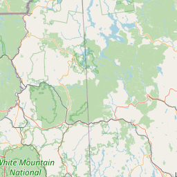
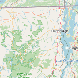
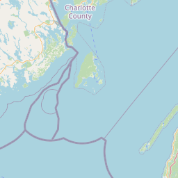
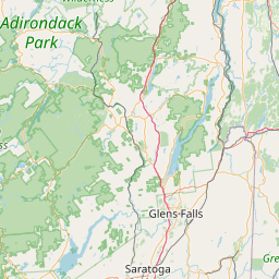
Little River
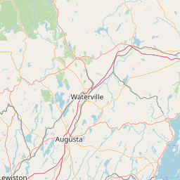
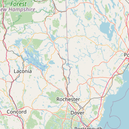
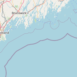
Map
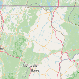
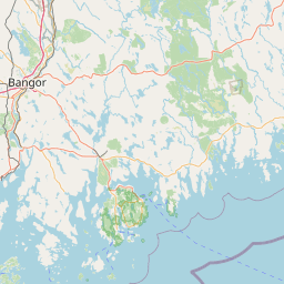
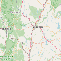
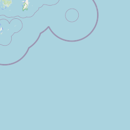
Leaflet | <a href="https://www.openstreetmap.org/copyright">© OpenStreetMap contributors</a>
Item
| Property | Value |
|---|---|
| id | 2258781 |
| downstream_mainstem_id | https://geoconnex.us/ref/mainstems/2257737 |
| encompassing_mainstem_basins | ['https://geoconnex.us/ref/mainstems/2257737', 'https://geoconnex.us/ref/mainstems/2257724'] |
| featuretype | ['https://www.opengis.net/def/schema/hy_features/hyf/HY_FlowPath', 'https://www.opengis.net/def/schema/hy_features/hyf/HY_WaterBody'] |
| fid | 380 |
| head_2020huc12 | 010400021003 |
| head_nhdpv1_comid | 6712123 |
| head_nhdpv2_comid | https://geoconnex.us/nhdplusv2/comid/6712123 |
| head_nhdpv2huc12 | https://geoconnex.us/nhdplusv2/huc12/010400021003 |
| head_rf1id | None |
| lengthkm | 17.6 |
| name_at_outlet | Little River |
| name_at_outlet_gnis_id | 570013 |
| new_mainstemid | |
| outlet_2020huc12 | 010400021003 |
| outlet_drainagearea_sqkm | 72.1 |
| outlet_nhdpv1_comid | 6714597 |
| outlet_nhdpv2_comid | https://geoconnex.us/nhdplusv2/comid/6714597 |
| outlet_nhdpv2huc12 | https://geoconnex.us/nhdplusv2/huc12/010400021003 |
| outlet_rf1id | None |
| superseded | False |
| uri | https://geoconnex.us/ref/mainstems/2258781 |