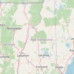
Kezar Outlet
Map
Leaflet | <a href="https://www.openstreetmap.org/copyright">© OpenStreetMap contributors</a>
Item
| Property | Value |
|---|---|
| id | 2266147 |
| downstream_mainstem_id | https://geoconnex.us/ref/mainstems/2266030 |
| encompassing_mainstem_basins | ['https://geoconnex.us/ref/mainstems/2266030', 'https://geoconnex.us/ref/mainstems/2265779'] |
| featuretype | ['https://www.opengis.net/def/schema/hy_features/hyf/HY_FlowPath', 'https://www.opengis.net/def/schema/hy_features/hyf/HY_WaterBody'] |
| fid | 488 |
| head_2020huc12 | 010600020402 |
| head_nhdpv1_comid | 9310957 |
| head_nhdpv2_comid | https://geoconnex.us/nhdplusv2/comid/9310957 |
| head_nhdpv2huc12 | https://geoconnex.us/nhdplusv2/huc12/010600020402 |
| head_rf1id | 1637 |
| lengthkm | 25.1 |
| name_at_outlet | Kezar Outlet |
| name_at_outlet_gnis_id | 581082 |
| new_mainstemid | |
| outlet_2020huc12 | 010600020402 |
| outlet_drainagearea_sqkm | 148.0 |
| outlet_nhdpv1_comid | 9311175 |
| outlet_nhdpv2_comid | https://geoconnex.us/nhdplusv2/comid/9311175 |
| outlet_nhdpv2huc12 | https://geoconnex.us/nhdplusv2/huc12/010600020402 |
| outlet_rf1id | 924 |
| superseded | False |
| uri | https://geoconnex.us/ref/mainstems/2266147 |