McGee Creek
Map


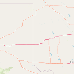


Leaflet | <a href="https://www.openstreetmap.org/copyright">© OpenStreetMap contributors</a>
Item
| Property | Value |
|---|---|
| id | 229539 |
| downstream_mainstem_id | https://geoconnex.us/ref/mainstems/227430 |
| encompassing_mainstem_basins | ['https://geoconnex.us/ref/mainstems/227430', 'https://geoconnex.us/ref/mainstems/225074'] |
| featuretype | ['https://www.opengis.net/def/schema/hy_features/hyf/HY_FlowPath', 'https://www.opengis.net/def/schema/hy_features/hyf/HY_WaterBody'] |
| fid | 22187 |
| head_2020huc12 | 111401030501 |
| head_nhdpv1_comid | 703820 |
| head_nhdpv2_comid | https://geoconnex.us/nhdplusv2/comid/703820 |
| head_nhdpv2huc12 | https://geoconnex.us/nhdplusv2/huc12/111401030501 |
| head_rf1id | 36517 |
| lengthkm | 63.3 |
| name_at_outlet | McGee Creek |
| name_at_outlet_gnis_id | 1095235 |
| new_mainstemid | |
| outlet_2020huc12 | 111401030505 |
| outlet_drainagearea_sqkm | 473.6 |
| outlet_nhdpv1_comid | 707046 |
| outlet_nhdpv2_comid | https://geoconnex.us/nhdplusv2/comid/707046 |
| outlet_nhdpv2huc12 | https://geoconnex.us/nhdplusv2/huc12/111401030505 |
| outlet_rf1id | 36517 |
| superseded | False |
| uri | https://geoconnex.us/ref/mainstems/229539 |