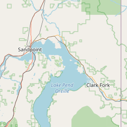
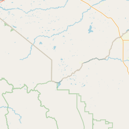
Big Lost Creek
Map
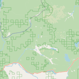
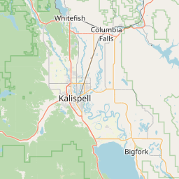
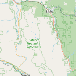
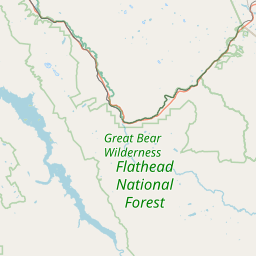
Leaflet | <a href="https://www.openstreetmap.org/copyright">© OpenStreetMap contributors</a>
Item
| Property | Value |
|---|---|
| id | 2304629 |
| downstream_mainstem_id | |
| encompassing_mainstem_basins | |
| featuretype | ['https://www.opengis.net/def/schema/hy_features/hyf/HY_FlowPath', 'https://www.opengis.net/def/schema/hy_features/hyf/HY_WaterBody'] |
| fid | 28820 |
| head_2020huc12 | |
| head_nhdpv1_comid | 24339328 |
| head_nhdpv2_comid | https://geoconnex.us/nhdplusv2/comid/24339328 |
| head_nhdpv2huc12 | |
| head_rf1id | None |
| lengthkm | 17.1 |
| name_at_outlet | Big Lost Creek |
| name_at_outlet_gnis_id | 779840 |
| new_mainstemid | |
| outlet_2020huc12 | |
| outlet_drainagearea_sqkm | 62.1 |
| outlet_nhdpv1_comid | 24339374 |
| outlet_nhdpv2_comid | https://geoconnex.us/nhdplusv2/comid/24339374 |
| outlet_nhdpv2huc12 | |
| outlet_rf1id | None |
| superseded | False |
| uri | https://geoconnex.us/ref/mainstems/2304629 |