Lost Creek
Map
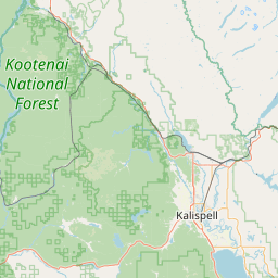
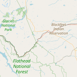
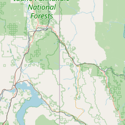
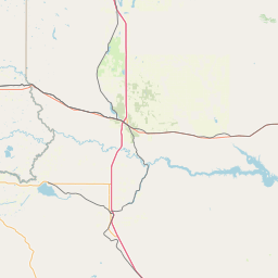
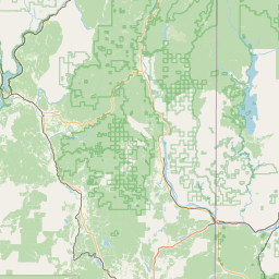
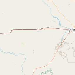
Leaflet | <a href="https://www.openstreetmap.org/copyright">© OpenStreetMap contributors</a>
Item
| Property | Value |
|---|---|
| id | 2304668 |
| downstream_mainstem_id | |
| encompassing_mainstem_basins | |
| featuretype | ['https://www.opengis.net/def/schema/hy_features/hyf/HY_FlowPath', 'https://www.opengis.net/def/schema/hy_features/hyf/HY_WaterBody'] |
| fid | 28854 |
| head_2020huc12 | 170102100402 |
| head_nhdpv1_comid | 24344825 |
| head_nhdpv2_comid | https://geoconnex.us/nhdplusv2/comid/24344825 |
| head_nhdpv2huc12 | https://geoconnex.us/nhdplusv2/huc12/170102100402 |
| head_rf1id | None |
| lengthkm | 25.9 |
| name_at_outlet | Lost Creek |
| name_at_outlet_gnis_id | 786585 |
| new_mainstemid | |
| outlet_2020huc12 | 170102100403 |
| outlet_drainagearea_sqkm | 64.2 |
| outlet_nhdpv1_comid | 24344817 |
| outlet_nhdpv2_comid | https://geoconnex.us/nhdplusv2/comid/24344817 |
| outlet_nhdpv2huc12 | https://geoconnex.us/nhdplusv2/huc12/170102100403 |
| outlet_rf1id | None |
| superseded | False |
| uri | https://geoconnex.us/ref/mainstems/2304668 |