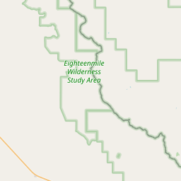
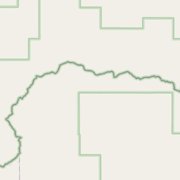
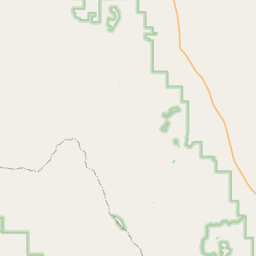
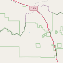
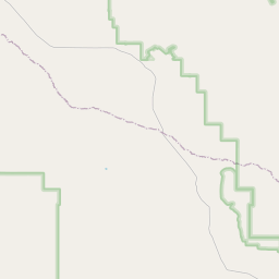
Webber Creek
Map
Leaflet | <a href="https://www.openstreetmap.org/copyright">© OpenStreetMap contributors</a>
Item
| Property | Value |
|---|---|
| id | 2309381 |
| downstream_mainstem_id | https://geoconnex.us/ref/mainstems/2309354 |
| encompassing_mainstem_basins | ['https://geoconnex.us/ref/mainstems/2309354'] |
| featuretype | ['https://www.opengis.net/def/schema/hy_features/hyf/HY_FlowPath', 'https://www.opengis.net/def/schema/hy_features/hyf/HY_WaterBody'] |
| fid | 29657 |
| head_2020huc12 | 170402150104 |
| head_nhdpv1_comid | 23228026 |
| head_nhdpv2_comid | https://geoconnex.us/nhdplusv2/comid/23228026 |
| head_nhdpv2huc12 | https://geoconnex.us/nhdplusv2/huc12/170402150104 |
| head_rf1id | 48340 |
| lengthkm | 20.2 |
| name_at_outlet | Webber Creek |
| name_at_outlet_gnis_id | 392967 |
| new_mainstemid | |
| outlet_2020huc12 | 170402150104 |
| outlet_drainagearea_sqkm | 68.5 |
| outlet_nhdpv1_comid | 23227842 |
| outlet_nhdpv2_comid | https://geoconnex.us/nhdplusv2/comid/23227842 |
| outlet_nhdpv2huc12 | https://geoconnex.us/nhdplusv2/huc12/170402150104 |
| outlet_rf1id | 48340 |
| superseded | False |
| uri | https://geoconnex.us/ref/mainstems/2309381 |