Carberry Creek
Map

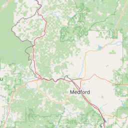
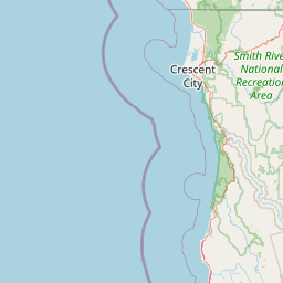
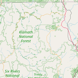

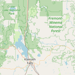

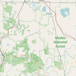

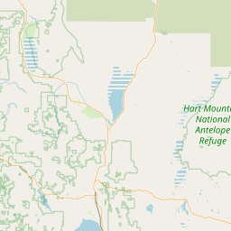

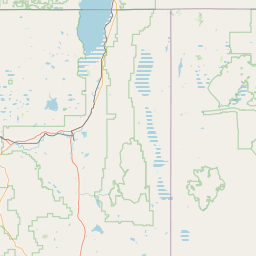
Leaflet | <a href="https://www.openstreetmap.org/copyright">© OpenStreetMap contributors</a>
Item
| Property | Value |
|---|---|
| id | 2329070 |
| downstream_mainstem_id | https://geoconnex.us/ref/mainstems/2328745 |
| encompassing_mainstem_basins | ['https://geoconnex.us/ref/mainstems/2328745', 'https://geoconnex.us/ref/mainstems/2328486'] |
| featuretype | ['https://www.opengis.net/def/schema/hy_features/hyf/HY_FlowPath', 'https://www.opengis.net/def/schema/hy_features/hyf/HY_WaterBody'] |
| fid | 31613 |
| head_2020huc12 | 171003090106 |
| head_nhdpv1_comid | 23936103 |
| head_nhdpv2_comid | https://geoconnex.us/nhdplusv2/comid/23936103 |
| head_nhdpv2huc12 | https://geoconnex.us/nhdplusv2/huc12/171003090106 |
| head_rf1id | 54016 |
| lengthkm | 30.3 |
| name_at_outlet | Carberry Creek |
| name_at_outlet_gnis_id | 1139367 |
| new_mainstemid | |
| outlet_2020huc12 | 171003090107 |
| outlet_drainagearea_sqkm | 192.7 |
| outlet_nhdpv1_comid | 23936041 |
| outlet_nhdpv2_comid | https://geoconnex.us/nhdplusv2/comid/23936041 |
| outlet_nhdpv2huc12 | https://geoconnex.us/nhdplusv2/huc12/171003090107 |
| outlet_rf1id | 54012 |
| superseded | False |
| uri | https://geoconnex.us/ref/mainstems/2329070 |