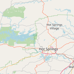
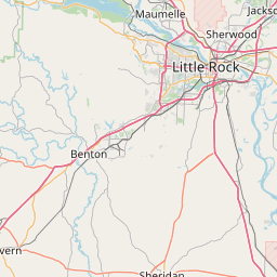
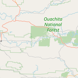
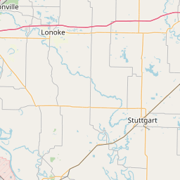
South Fork Saline River
Map
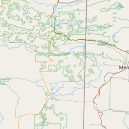
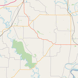
Leaflet | <a href="https://www.openstreetmap.org/copyright">© OpenStreetMap contributors</a>
Item
| Property | Value |
|---|---|
| id | 233043 |
| downstream_mainstem_id | https://geoconnex.us/ref/mainstems/225805 |
| encompassing_mainstem_basins | ['https://geoconnex.us/ref/mainstems/225805', 'https://geoconnex.us/ref/mainstems/225367', 'https://geoconnex.us/ref/mainstems/225074'] |
| featuretype | ['https://www.opengis.net/def/schema/hy_features/hyf/HY_FlowPath', 'https://www.opengis.net/def/schema/hy_features/hyf/HY_WaterBody'] |
| fid | 13472 |
| head_2020huc12 | 080402030201 |
| head_nhdpv1_comid | 21921987 |
| head_nhdpv2_comid | https://geoconnex.us/nhdplusv2/comid/21921987 |
| head_nhdpv2huc12 | https://geoconnex.us/nhdplusv2/huc12/080402030201 |
| head_rf1id | 21295 |
| lengthkm | 46.9 |
| name_at_outlet | South Fork Saline River |
| name_at_outlet_gnis_id | 55028 |
| new_mainstemid | |
| outlet_2020huc12 | 080402030203 |
| outlet_drainagearea_sqkm | 333.2 |
| outlet_nhdpv1_comid | 21920995 |
| outlet_nhdpv2_comid | https://geoconnex.us/nhdplusv2/comid/21920995 |
| outlet_nhdpv2huc12 | https://geoconnex.us/nhdplusv2/huc12/080402030203 |
| outlet_rf1id | 21293 |
| superseded | False |
| uri | https://geoconnex.us/ref/mainstems/233043 |