Hunter Creek
Map

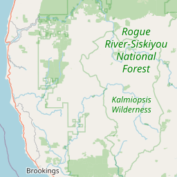

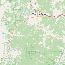

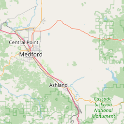
Leaflet | <a href="https://www.openstreetmap.org/copyright">© OpenStreetMap contributors</a>
Item
| Property | Value |
|---|---|
| id | 2332895 |
| downstream_mainstem_id | |
| encompassing_mainstem_basins | |
| featuretype | ['https://www.opengis.net/def/schema/hy_features/hyf/HY_FlowPath', 'https://www.opengis.net/def/schema/hy_features/hyf/HY_WaterBody'] |
| fid | 31648 |
| head_2020huc12 | 171003120301 |
| head_nhdpv1_comid | 23949945 |
| head_nhdpv2_comid | https://geoconnex.us/nhdplusv2/comid/23949945 |
| head_nhdpv2huc12 | https://geoconnex.us/nhdplusv2/huc12/171003120501 |
| head_rf1id | 54202 |
| lengthkm | 29.6 |
| name_at_outlet | Hunter Creek |
| name_at_outlet_gnis_id | 1143931 |
| new_mainstemid | |
| outlet_2020huc12 | 171003120502 |
| outlet_drainagearea_sqkm | 115.1 |
| outlet_nhdpv1_comid | 23949927 |
| outlet_nhdpv2_comid | https://geoconnex.us/nhdplusv2/comid/23949927 |
| outlet_nhdpv2huc12 | https://geoconnex.us/nhdplusv2/huc12/171003120502 |
| outlet_rf1id | 54201 |
| superseded | False |
| uri | https://geoconnex.us/ref/mainstems/2332895 |