Duckabush River
Map
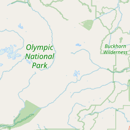
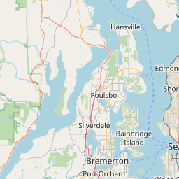
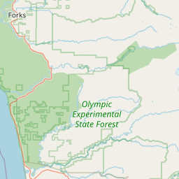
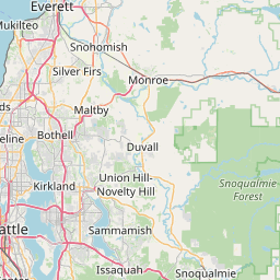
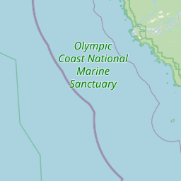
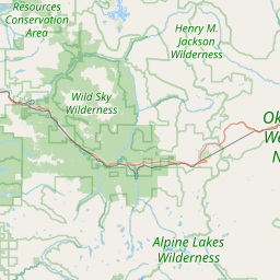
Leaflet | <a href="https://www.openstreetmap.org/copyright">© OpenStreetMap contributors</a>
Item
| Property | Value |
|---|---|
| id | 2342694 |
| downstream_mainstem_id | |
| encompassing_mainstem_basins | |
| featuretype | ['https://www.opengis.net/def/schema/hy_features/hyf/HY_FlowPath', 'https://www.opengis.net/def/schema/hy_features/hyf/HY_WaterBody'] |
| fid | 31809 |
| head_2020huc12 | 171100180304 |
| head_nhdpv1_comid | 24287086 |
| head_nhdpv2_comid | https://geoconnex.us/nhdplusv2/comid/24287086 |
| head_nhdpv2huc12 | https://geoconnex.us/nhdplusv2/huc12/171100180304 |
| head_rf1id | 54953 |
| lengthkm | 41.0 |
| name_at_outlet | Duckabush River |
| name_at_outlet_gnis_id | 1531444 |
| new_mainstemid | |
| outlet_2020huc12 | 171100180402 |
| outlet_drainagearea_sqkm | 198.0 |
| outlet_nhdpv1_comid | 24287050 |
| outlet_nhdpv2_comid | https://geoconnex.us/nhdplusv2/comid/24287050 |
| outlet_nhdpv2huc12 | https://geoconnex.us/nhdplusv2/huc12/171100180402 |
| outlet_rf1id | 54952 |
| superseded | False |
| uri | https://geoconnex.us/ref/mainstems/2342694 |
Graph Results
| monitoringLocation | https://sta.geoconnex.dev/collections/USGS/Things/items/'USGS-12054000' |
|---|---|
| siteName | USGS-12054000 |
| datasetDescription | Discharge, cubic feet per second / USGS-12054000-18180cab728145f0a9af30d23b0223ca |
| type | Stream |
| url | https://waterdata.usgs.gov/monitoring-location/12054000/#parameterCode=00060 |
| variableMeasured | Discharge |
| variableUnit | ft^3/s |
| measurementTechnique | observation |
| temporalCoverage | 2024-08-30T09:15:00Z/2024-09-09T18:45:00Z |
| distributionName | USGS Instantaneous Values Service |
| distributionURL | https://waterservices.usgs.gov/nwis/iv/?sites=USGS:12054000¶meterCd=00060&format=rdb |
| distributionFormat | text/tab-separated-values |
| wkt | POINT (-123.011551059881 47.6839805909158) |
| monitoringLocation | https://sta.geoconnex.dev/collections/USGS/Things/items/'USGS-12054000' |
|---|---|
| siteName | USGS-12054000 |
| datasetDescription | Discharge, cubic feet per second / USGS-12054000-18180cab728145f0a9af30d23b0223ca |
| type | Stream |
| url | https://waterdata.usgs.gov/monitoring-location/12054000/#parameterCode=00060 |
| variableMeasured | Discharge |
| variableUnit | ft^3/s |
| measurementTechnique | observation |
| temporalCoverage | 2024-08-30T09:15:00Z/2024-09-09T18:45:00Z |
| distributionName | USGS SensorThings API |
| distributionURL | https://labs.waterdata.usgs.gov/sta/v1.1/Datastreams('18180cab728145f0a9af30d23b0223ca')?$expand=Thing,Observations |
| distributionFormat | application/json |
| wkt | POINT (-123.011551059881 47.6839805909158) |
| monitoringLocation | https://sta.geoconnex.dev/collections/USGS/Things/items/'USGS-12054000' |
|---|---|
| siteName | USGS-12054000 |
| datasetDescription | Gage height / USGS-12054000-5d22528360e84b758e08459420316f1e |
| type | Stream |
| url | https://waterdata.usgs.gov/monitoring-location/12054000/#parameterCode=00065 |
| variableMeasured | Gage height / USGS-12054000-5d22528360e84b758e08459420316f1e |
| variableUnit | ft |
| measurementTechnique | observation |
| temporalCoverage | 2024-08-30T09:15:00Z/2024-09-09T18:45:00Z |
| distributionName | USGS SensorThings API |
| distributionURL | https://labs.waterdata.usgs.gov/sta/v1.1/Datastreams('5d22528360e84b758e08459420316f1e')?$expand=Thing,Observations |
| distributionFormat | application/json |
| wkt | POINT (-123.011551059881 47.6839805909158) |
| monitoringLocation | https://sta.geoconnex.dev/collections/USGS/Things/items/'USGS-12054000' |
|---|---|
| siteName | USGS-12054000 |
| datasetDescription | Gage height / USGS-12054000-5d22528360e84b758e08459420316f1e |
| type | Stream |
| url | https://waterdata.usgs.gov/monitoring-location/12054000/#parameterCode=00065 |
| variableMeasured | Gage height / USGS-12054000-5d22528360e84b758e08459420316f1e |
| variableUnit | ft |
| measurementTechnique | observation |
| temporalCoverage | 2024-08-30T09:15:00Z/2024-09-09T18:45:00Z |
| distributionName | USGS Instantaneous Values Service |
| distributionURL | https://waterservices.usgs.gov/nwis/iv/?sites=USGS:12054000¶meterCd=00065&format=rdb |
| distributionFormat | text/tab-separated-values |
| wkt | POINT (-123.011551059881 47.6839805909158) |