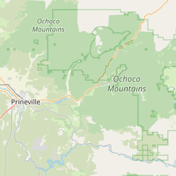
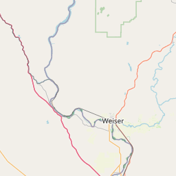
Antelope Creek
Map
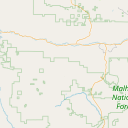
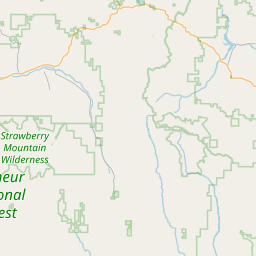
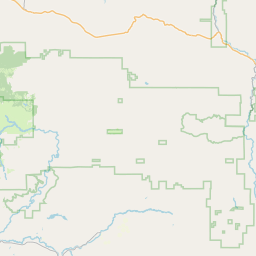
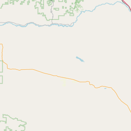
Leaflet | <a href="https://www.openstreetmap.org/copyright">© OpenStreetMap contributors</a>
Item
| Property | Value |
|---|---|
| id | 2345006 |
| downstream_mainstem_id | https://geoconnex.us/ref/mainstems/2344951 |
| encompassing_mainstem_basins | ['https://geoconnex.us/ref/mainstems/2344951', 'https://geoconnex.us/ref/mainstems/2344816'] |
| featuretype | ['https://www.opengis.net/def/schema/hy_features/hyf/HY_FlowPath', 'https://www.opengis.net/def/schema/hy_features/hyf/HY_WaterBody'] |
| fid | 31859 |
| head_2020huc12 | 171200020203 |
| head_nhdpv1_comid | 24007248 |
| head_nhdpv2_comid | https://geoconnex.us/nhdplusv2/comid/24007248 |
| head_nhdpv2huc12 | https://geoconnex.us/nhdplusv2/huc12/171200020203 |
| head_rf1id | 55087 |
| lengthkm | 15.4 |
| name_at_outlet | Antelope Creek |
| name_at_outlet_gnis_id | 1137238 |
| new_mainstemid | |
| outlet_2020huc12 | 171200020203 |
| outlet_drainagearea_sqkm | 79.0 |
| outlet_nhdpv1_comid | 24007234 |
| outlet_nhdpv2_comid | https://geoconnex.us/nhdplusv2/comid/24007234 |
| outlet_nhdpv2huc12 | https://geoconnex.us/nhdplusv2/huc12/171200020203 |
| outlet_rf1id | 55087 |
| superseded | False |
| uri | https://geoconnex.us/ref/mainstems/2345006 |