Quartermaster Creek
Map
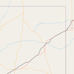
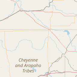
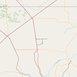
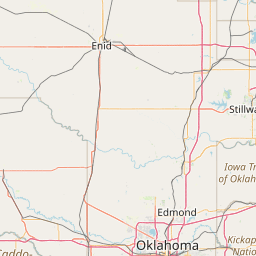

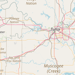
Leaflet | <a href="https://www.openstreetmap.org/copyright">© OpenStreetMap contributors</a>
Item
| Property | Value |
|---|---|
| id | 235382 |
| downstream_mainstem_id | https://geoconnex.us/ref/mainstems/226035 |
| encompassing_mainstem_basins | ['https://geoconnex.us/ref/mainstems/226035', 'https://geoconnex.us/ref/mainstems/225074'] |
| featuretype | ['https://www.opengis.net/def/schema/hy_features/hyf/HY_FlowPath', 'https://www.opengis.net/def/schema/hy_features/hyf/HY_WaterBody'] |
| fid | 22051 |
| head_2020huc12 | 111303010401 |
| head_nhdpv1_comid | 3140670 |
| head_nhdpv2_comid | https://geoconnex.us/nhdplusv2/comid/3140670 |
| head_nhdpv2huc12 | https://geoconnex.us/nhdplusv2/huc12/111303010401 |
| head_rf1id | 36372 |
| lengthkm | 55.1 |
| name_at_outlet | Quartermaster Creek |
| name_at_outlet_gnis_id | 1101609 |
| new_mainstemid | |
| outlet_2020huc12 | 111303010406 |
| outlet_drainagearea_sqkm | 448.4 |
| outlet_nhdpv1_comid | 3141274 |
| outlet_nhdpv2_comid | https://geoconnex.us/nhdplusv2/comid/3141274 |
| outlet_nhdpv2huc12 | https://geoconnex.us/nhdplusv2/huc12/111303010406 |
| outlet_rf1id | 36370 |
| superseded | False |
| uri | https://geoconnex.us/ref/mainstems/235382 |