Item 2356432
Map
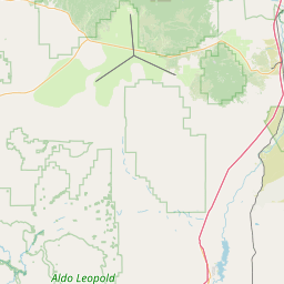
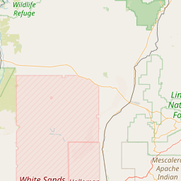
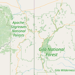
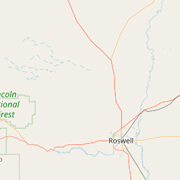
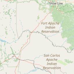
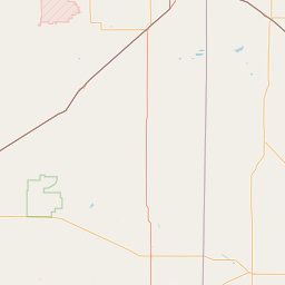
Leaflet | <a href="https://www.openstreetmap.org/copyright">© OpenStreetMap contributors</a>
Item
| Property | Value |
|---|---|
| id | 2356432 |
| downstream_mainstem_id | https://geoconnex.us/ref/mainstems/2356357 |
| encompassing_mainstem_basins | ['https://geoconnex.us/ref/mainstems/2356357', 'https://geoconnex.us/ref/mainstems/2356337'] |
| featuretype | ['https://www.opengis.net/def/schema/hy_features/hyf/HY_FlowPath', 'https://www.opengis.net/def/schema/hy_features/hyf/HY_WaterBody'] |
| fid | 24921 |
| head_2020huc12 | 130202100207 |
| head_nhdpv1_comid | 17743485 |
| head_nhdpv2_comid | https://geoconnex.us/nhdplusv2/comid/17743485 |
| head_nhdpv2huc12 | https://geoconnex.us/nhdplusv2/huc12/130202100207 |
| head_rf1id | 40677 |
| lengthkm | 31.1 |
| name_at_outlet | |
| name_at_outlet_gnis_id | None |
| new_mainstemid | |
| outlet_2020huc12 | 130202100208 |
| outlet_drainagearea_sqkm | 328.7 |
| outlet_nhdpv1_comid | 17743413 |
| outlet_nhdpv2_comid | https://geoconnex.us/nhdplusv2/comid/17743413 |
| outlet_nhdpv2huc12 | https://geoconnex.us/nhdplusv2/huc12/130202100208 |
| outlet_rf1id | 40676 |
| superseded | False |
| uri | https://geoconnex.us/ref/mainstems/2356432 |