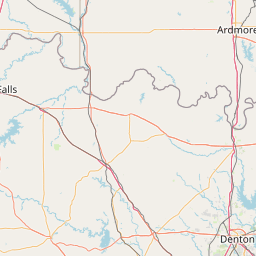
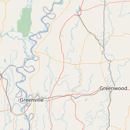
Blue Bayou
Map
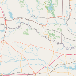
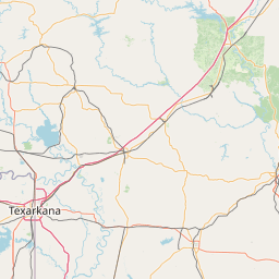
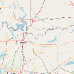
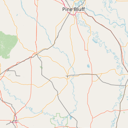
Leaflet | <a href="https://www.openstreetmap.org/copyright">© OpenStreetMap contributors</a>
Item
| Property | Value |
|---|---|
| id | 238499 |
| downstream_mainstem_id | https://geoconnex.us/ref/mainstems/229744 |
| encompassing_mainstem_basins | ['https://geoconnex.us/ref/mainstems/229744', 'https://geoconnex.us/ref/mainstems/225906', 'https://geoconnex.us/ref/mainstems/225074'] |
| featuretype | ['https://www.opengis.net/def/schema/hy_features/hyf/HY_FlowPath', 'https://www.opengis.net/def/schema/hy_features/hyf/HY_WaterBody'] |
| fid | 22320 |
| head_2020huc12 | 111401090903 |
| head_nhdpv1_comid | 3745222 |
| head_nhdpv2_comid | https://geoconnex.us/nhdplusv2/comid/3745222 |
| head_nhdpv2huc12 | https://geoconnex.us/nhdplusv2/huc12/111401090903 |
| head_rf1id | None |
| lengthkm | 27.1 |
| name_at_outlet | Blue Bayou |
| name_at_outlet_gnis_id | 46737 |
| new_mainstemid | |
| outlet_2020huc12 | 111401090903 |
| outlet_drainagearea_sqkm | 71.0 |
| outlet_nhdpv1_comid | 3749686 |
| outlet_nhdpv2_comid | https://geoconnex.us/nhdplusv2/comid/3749686 |
| outlet_nhdpv2huc12 | https://geoconnex.us/nhdplusv2/huc12/111401090903 |
| outlet_rf1id | None |
| superseded | False |
| uri | https://geoconnex.us/ref/mainstems/238499 |