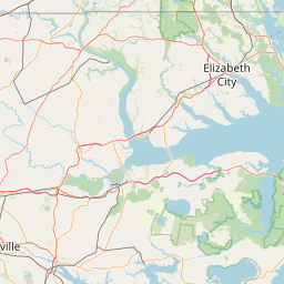
Scuppernong River
Map


Leaflet | <a href="https://www.openstreetmap.org/copyright">© OpenStreetMap contributors</a>
Item
| Property | Value |
|---|---|
| id | 2390959 |
| downstream_mainstem_id | |
| encompassing_mainstem_basins | |
| featuretype | ['https://www.opengis.net/def/schema/hy_features/hyf/HY_FlowPath', 'https://www.opengis.net/def/schema/hy_features/hyf/HY_WaterBody'] |
| fid | 2659 |
| head_2020huc12 | 030102050202 |
| head_nhdpv1_comid | 10483095 |
| head_nhdpv2_comid | https://geoconnex.us/nhdplusv2/comid/10483095 |
| head_nhdpv2huc12 | https://geoconnex.us/nhdplusv2/huc12/030102050202 |
| head_rf1id | 10186 |
| lengthkm | 40.6 |
| name_at_outlet | Scuppernong River |
| name_at_outlet_gnis_id | 994449 |
| new_mainstemid | |
| outlet_2020huc12 | 030102050206 |
| outlet_drainagearea_sqkm | 548.4 |
| outlet_nhdpv1_comid | 26816607 |
| outlet_nhdpv2_comid | https://geoconnex.us/nhdplusv2/comid/26816607 |
| outlet_nhdpv2huc12 | https://geoconnex.us/nhdplusv2/huc12/030102050206 |
| outlet_rf1id | 59043 |
| superseded | False |
| uri | https://geoconnex.us/ref/mainstems/2390959 |