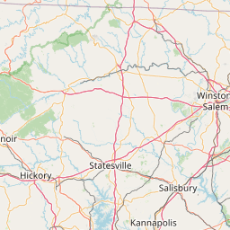
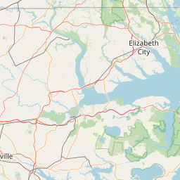
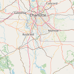
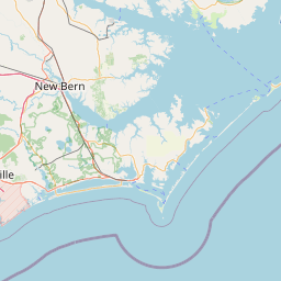
Black Creek
Map
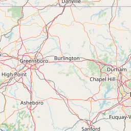
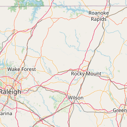
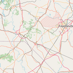
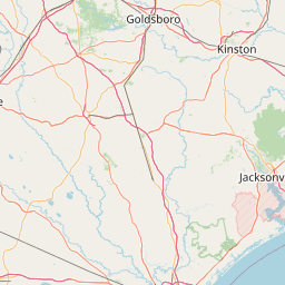
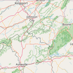
Leaflet | <a href="https://www.openstreetmap.org/copyright">© OpenStreetMap contributors</a>
Item
| Property | Value |
|---|---|
| id | 2398599 |
| downstream_mainstem_id | https://geoconnex.us/ref/mainstems/2398012 |
| encompassing_mainstem_basins | ['https://geoconnex.us/ref/mainstems/2398012'] |
| featuretype | ['https://www.opengis.net/def/schema/hy_features/hyf/HY_FlowPath', 'https://www.opengis.net/def/schema/hy_features/hyf/HY_WaterBody'] |
| fid | 2769 |
| head_2020huc12 | 030202011201 |
| head_nhdpv1_comid | 8786821 |
| head_nhdpv2_comid | https://geoconnex.us/nhdplusv2/comid/8786821 |
| head_nhdpv2huc12 | https://geoconnex.us/nhdplusv2/huc12/030202011201 |
| head_rf1id | 4788 |
| lengthkm | 51.6 |
| name_at_outlet | Black Creek |
| name_at_outlet_gnis_id | 1025160 |
| new_mainstemid | |
| outlet_2020huc12 | 030202011203 |
| outlet_drainagearea_sqkm | 263.0 |
| outlet_nhdpv1_comid | 8790175 |
| outlet_nhdpv2_comid | https://geoconnex.us/nhdplusv2/comid/8790175 |
| outlet_nhdpv2huc12 | https://geoconnex.us/nhdplusv2/huc12/030202011203 |
| outlet_rf1id | 4788 |
| superseded | False |
| uri | https://geoconnex.us/ref/mainstems/2398599 |