Holly Shelter Creek
Map
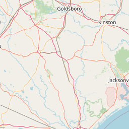
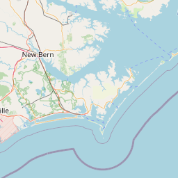
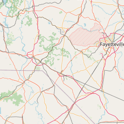
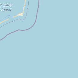
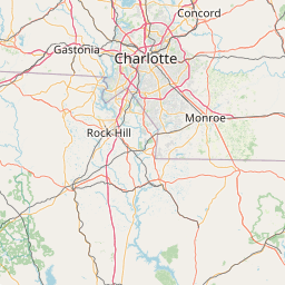

Leaflet | <a href="https://www.openstreetmap.org/copyright">© OpenStreetMap contributors</a>
Item
| Property | Value |
|---|---|
| id | 2409210 |
| downstream_mainstem_id | https://geoconnex.us/ref/mainstems/2407741 |
| encompassing_mainstem_basins | ['https://geoconnex.us/ref/mainstems/2407741', 'https://geoconnex.us/ref/mainstems/2407369'] |
| featuretype | ['https://www.opengis.net/def/schema/hy_features/hyf/HY_FlowPath', 'https://www.opengis.net/def/schema/hy_features/hyf/HY_WaterBody'] |
| fid | 2948 |
| head_2020huc12 | 030300070604 |
| head_nhdpv1_comid | 10526389 |
| head_nhdpv2_comid | https://geoconnex.us/nhdplusv2/comid/10526389 |
| head_nhdpv2huc12 | https://geoconnex.us/nhdplusv2/huc12/030300070604 |
| head_rf1id | 5003 |
| lengthkm | 40.8 |
| name_at_outlet | Holly Shelter Creek |
| name_at_outlet_gnis_id | 1025391 |
| new_mainstemid | |
| outlet_2020huc12 | 030300070609 |
| outlet_drainagearea_sqkm | 657.6 |
| outlet_nhdpv1_comid | 10527303 |
| outlet_nhdpv2_comid | https://geoconnex.us/nhdplusv2/comid/10527303 |
| outlet_nhdpv2huc12 | https://geoconnex.us/nhdplusv2/huc12/030300070609 |
| outlet_rf1id | 5002 |
| superseded | False |
| uri | https://geoconnex.us/ref/mainstems/2409210 |