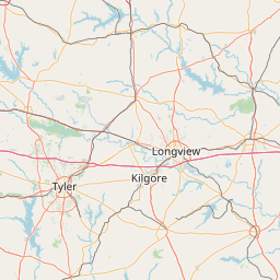
Willow Chute
Map
Leaflet | <a href="https://www.openstreetmap.org/copyright">© OpenStreetMap contributors</a>
Item
| Property | Value |
|---|---|
| id | 241420 |
| downstream_mainstem_id | |
| encompassing_mainstem_basins | |
| featuretype | ['https://www.opengis.net/def/schema/hy_features/hyf/HY_FlowPath', 'https://www.opengis.net/def/schema/hy_features/hyf/HY_WaterBody'] |
| fid | 34044 |
| head_2020huc12 | |
| head_nhdpv1_comid | 3760302 |
| head_nhdpv2_comid | https://geoconnex.us/nhdplusv2/comid/3760302 |
| head_nhdpv2huc12 | |
| head_rf1id | 36688 |
| lengthkm | 22.4 |
| name_at_outlet | Willow Chute |
| name_at_outlet_gnis_id | 540455 |
| new_mainstemid | ['https://geoconnex.us/ref/mainstems/198248'] |
| outlet_2020huc12 | |
| outlet_drainagearea_sqkm | 93.4 |
| outlet_nhdpv1_comid | 3760148 |
| outlet_nhdpv2_comid | https://geoconnex.us/nhdplusv2/comid/3760148 |
| outlet_nhdpv2huc12 | |
| outlet_rf1id | 36686 |
| superseded | True |
| uri | https://geoconnex.us/ref/mainstems/241420 |