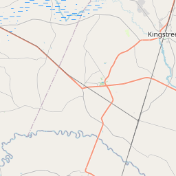
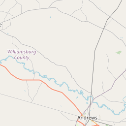
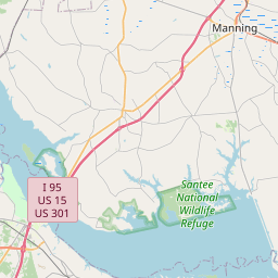
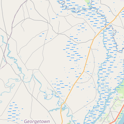
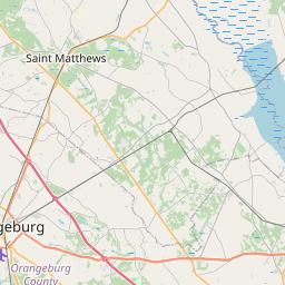
Rocky Ford Swamp
Map
Leaflet | <a href="https://www.openstreetmap.org/copyright">© OpenStreetMap contributors</a>
Item
| Property | Value |
|---|---|
| id | 2425080 |
| downstream_mainstem_id | https://geoconnex.us/ref/mainstems/2424191 |
| encompassing_mainstem_basins | ['https://geoconnex.us/ref/mainstems/2424191', 'https://geoconnex.us/ref/mainstems/2423198'] |
| featuretype | ['https://www.opengis.net/def/schema/hy_features/hyf/HY_FlowPath', 'https://www.opengis.net/def/schema/hy_features/hyf/HY_WaterBody'] |
| fid | 3228 |
| head_2020huc12 | 030402050705 |
| head_nhdpv1_comid | 9091004 |
| head_nhdpv2_comid | https://geoconnex.us/nhdplusv2/comid/9091004 |
| head_nhdpv2huc12 | https://geoconnex.us/nhdplusv2/huc12/030402050705 |
| head_rf1id | None |
| lengthkm | 6.8 |
| name_at_outlet | Rocky Ford Swamp |
| name_at_outlet_gnis_id | 1250446 |
| new_mainstemid | |
| outlet_2020huc12 | 030402050705 |
| outlet_drainagearea_sqkm | 75.3 |
| outlet_nhdpv1_comid | 9090990 |
| outlet_nhdpv2_comid | https://geoconnex.us/nhdplusv2/comid/9090990 |
| outlet_nhdpv2huc12 | https://geoconnex.us/nhdplusv2/huc12/030402050705 |
| outlet_rf1id | None |
| superseded | False |
| uri | https://geoconnex.us/ref/mainstems/2425080 |