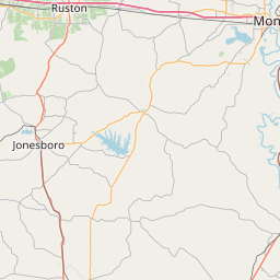
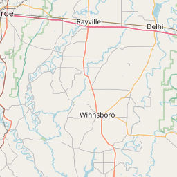
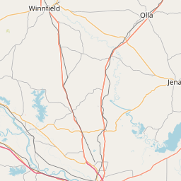
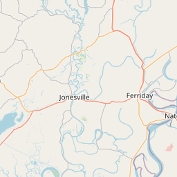
Bridge Creek
Map
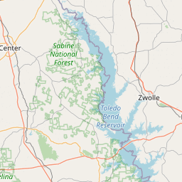
Leaflet | <a href="https://www.openstreetmap.org/copyright">© OpenStreetMap contributors</a>
Item
| Property | Value |
|---|---|
| id | 242822 |
| downstream_mainstem_id | https://geoconnex.us/ref/mainstems/239811 |
| encompassing_mainstem_basins | ['https://geoconnex.us/ref/mainstems/239811', 'https://geoconnex.us/ref/mainstems/227403', 'https://geoconnex.us/ref/mainstems/225367', 'https://geoconnex.us/ref/mainstems/225074'] |
| featuretype | ['https://www.opengis.net/def/schema/hy_features/hyf/HY_FlowPath', 'https://www.opengis.net/def/schema/hy_features/hyf/HY_WaterBody'] |
| fid | 13590 |
| head_2020huc12 | 080403020201 |
| head_nhdpv1_comid | 19383033 |
| head_nhdpv2_comid | https://geoconnex.us/nhdplusv2/comid/19383033 |
| head_nhdpv2huc12 | https://geoconnex.us/nhdplusv2/huc12/080403020201 |
| head_rf1id | None |
| lengthkm | 26.3 |
| name_at_outlet | Bridge Creek |
| name_at_outlet_gnis_id | 533393 |
| new_mainstemid | |
| outlet_2020huc12 | 080403020201 |
| outlet_drainagearea_sqkm | 153.9 |
| outlet_nhdpv1_comid | 907790002 |
| outlet_nhdpv2_comid | https://geoconnex.us/nhdplusv2/comid/167166518 |
| outlet_nhdpv2huc12 | https://geoconnex.us/nhdplusv2/huc12/080403020201 |
| outlet_rf1id | None |
| superseded | False |
| uri | https://geoconnex.us/ref/mainstems/242822 |