Dutchmans Creek
Map


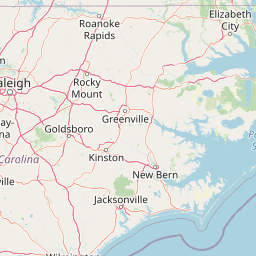

Leaflet | <a href="https://www.openstreetmap.org/copyright">© OpenStreetMap contributors</a>
Item
| Property | Value |
|---|---|
| id | 2428897 |
| downstream_mainstem_id | https://geoconnex.us/ref/mainstems/2427259 |
| encompassing_mainstem_basins | ['https://geoconnex.us/ref/mainstems/2427259', 'https://geoconnex.us/ref/mainstems/2427150'] |
| featuretype | ['https://www.opengis.net/def/schema/hy_features/hyf/HY_FlowPath', 'https://www.opengis.net/def/schema/hy_features/hyf/HY_WaterBody'] |
| fid | 3288 |
| head_2020huc12 | 030501011301 |
| head_nhdpv1_comid | 9753696 |
| head_nhdpv2_comid | https://geoconnex.us/nhdplusv2/comid/9753696 |
| head_nhdpv2huc12 | https://geoconnex.us/nhdplusv2/huc12/030501011301 |
| head_rf1id | 5464 |
| lengthkm | 44.6 |
| name_at_outlet | Dutchmans Creek |
| name_at_outlet_gnis_id | 984457 |
| new_mainstemid | |
| outlet_2020huc12 | 030501011304 |
| outlet_drainagearea_sqkm | 366.0 |
| outlet_nhdpv1_comid | 9756866 |
| outlet_nhdpv2_comid | https://geoconnex.us/nhdplusv2/comid/9756866 |
| outlet_nhdpv2huc12 | https://geoconnex.us/nhdplusv2/huc12/030501011304 |
| outlet_rf1id | 5460 |
| superseded | False |
| uri | https://geoconnex.us/ref/mainstems/2428897 |