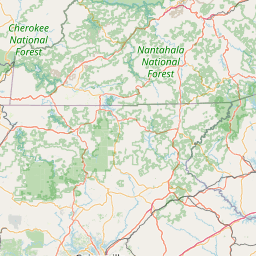
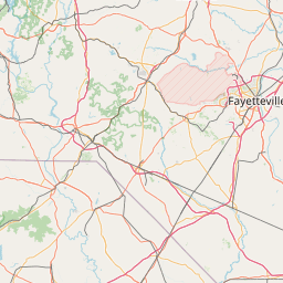
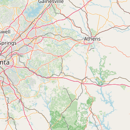
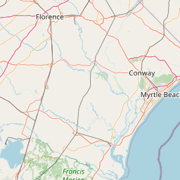
Kings Creek
Map

Leaflet | <a href="https://www.openstreetmap.org/copyright">© OpenStreetMap contributors</a>
Item
| Property | Value |
|---|---|
| id | 2431412 |
| downstream_mainstem_id | https://geoconnex.us/ref/mainstems/2427795 |
| encompassing_mainstem_basins | ['https://geoconnex.us/ref/mainstems/2427795', 'https://geoconnex.us/ref/mainstems/2427150'] |
| featuretype | ['https://www.opengis.net/def/schema/hy_features/hyf/HY_FlowPath', 'https://www.opengis.net/def/schema/hy_features/hyf/HY_WaterBody'] |
| fid | 3429 |
| head_2020huc12 | 030501080501 |
| head_nhdpv1_comid | 9693860 |
| head_nhdpv2_comid | https://geoconnex.us/nhdplusv2/comid/9693860 |
| head_nhdpv2huc12 | https://geoconnex.us/nhdplusv2/huc12/030501080501 |
| head_rf1id | 5771 |
| lengthkm | 16.6 |
| name_at_outlet | Kings Creek |
| name_at_outlet_gnis_id | 1229887 |
| new_mainstemid | |
| outlet_2020huc12 | 030501080501 |
| outlet_drainagearea_sqkm | 67.5 |
| outlet_nhdpv1_comid | 9693748 |
| outlet_nhdpv2_comid | https://geoconnex.us/nhdplusv2/comid/9693748 |
| outlet_nhdpv2huc12 | https://geoconnex.us/nhdplusv2/huc12/030501080501 |
| outlet_rf1id | 5771 |
| superseded | False |
| uri | https://geoconnex.us/ref/mainstems/2431412 |