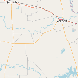
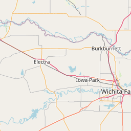
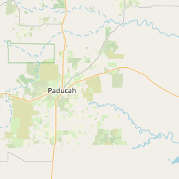
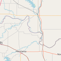
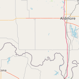
Long Creek
Map
Leaflet | <a href="https://www.openstreetmap.org/copyright">© OpenStreetMap contributors</a>
Item
| Property | Value |
|---|---|
| id | 243517 |
| downstream_mainstem_id | https://geoconnex.us/ref/mainstems/230769 |
| encompassing_mainstem_basins | ['https://geoconnex.us/ref/mainstems/230769', 'https://geoconnex.us/ref/mainstems/228116', 'https://geoconnex.us/ref/mainstems/225074'] |
| featuretype | ['https://www.opengis.net/def/schema/hy_features/hyf/HY_FlowPath', 'https://www.opengis.net/def/schema/hy_features/hyf/HY_WaterBody'] |
| fid | 21993 |
| head_2020huc12 | 111302070401 |
| head_nhdpv1_comid | 13729559 |
| head_nhdpv2_comid | https://geoconnex.us/nhdplusv2/comid/13729559 |
| head_nhdpv2huc12 | https://geoconnex.us/nhdplusv2/huc12/111302070401 |
| head_rf1id | 36340 |
| lengthkm | 32.5 |
| name_at_outlet | Long Creek |
| name_at_outlet_gnis_id | 1361722 |
| new_mainstemid | |
| outlet_2020huc12 | 111302070401 |
| outlet_drainagearea_sqkm | 99.9 |
| outlet_nhdpv1_comid | 13730385 |
| outlet_nhdpv2_comid | https://geoconnex.us/nhdplusv2/comid/13730385 |
| outlet_nhdpv2huc12 | https://geoconnex.us/nhdplusv2/huc12/111302070401 |
| outlet_rf1id | 36340 |
| superseded | False |
| uri | https://geoconnex.us/ref/mainstems/243517 |