Camp Branch
Map
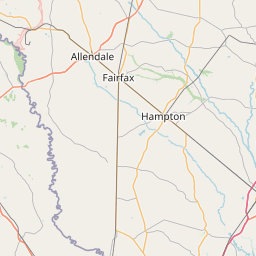
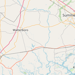
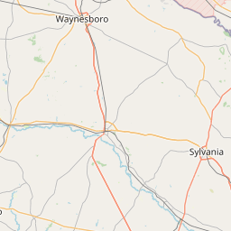
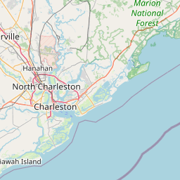
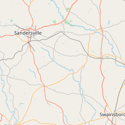
Leaflet | <a href="https://www.openstreetmap.org/copyright">© OpenStreetMap contributors</a>
Item
| Property | Value |
|---|---|
| id | 2451726 |
| downstream_mainstem_id | https://geoconnex.us/ref/mainstems/2451377 |
| encompassing_mainstem_basins | ['https://geoconnex.us/ref/mainstems/2451377'] |
| featuretype | ['https://www.opengis.net/def/schema/hy_features/hyf/HY_FlowPath', 'https://www.opengis.net/def/schema/hy_features/hyf/HY_WaterBody'] |
| fid | 3602 |
| head_2020huc12 | 030502080403 |
| head_nhdpv1_comid | 20152153 |
| head_nhdpv2_comid | https://geoconnex.us/nhdplusv2/comid/20152153 |
| head_nhdpv2huc12 | https://geoconnex.us/nhdplusv2/huc12/030502080403 |
| head_rf1id | None |
| lengthkm | 8.3 |
| name_at_outlet | Camp Branch |
| name_at_outlet_gnis_id | 1247117 |
| new_mainstemid | |
| outlet_2020huc12 | 030502080403 |
| outlet_drainagearea_sqkm | 52.9 |
| outlet_nhdpv1_comid | 20151895 |
| outlet_nhdpv2_comid | https://geoconnex.us/nhdplusv2/comid/20151895 |
| outlet_nhdpv2huc12 | https://geoconnex.us/nhdplusv2/huc12/030502080403 |
| outlet_rf1id | None |
| superseded | False |
| uri | https://geoconnex.us/ref/mainstems/2451726 |