Keatchie Bayou
Map
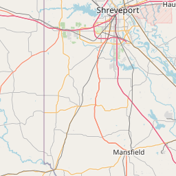
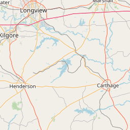
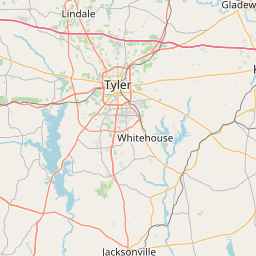
Leaflet | <a href="https://www.openstreetmap.org/copyright">© OpenStreetMap contributors</a>
Item
| Property | Value |
|---|---|
| id | 249313 |
| downstream_mainstem_id | https://geoconnex.us/ref/mainstems/240679 |
| encompassing_mainstem_basins | ['https://geoconnex.us/ref/mainstems/240679', 'https://geoconnex.us/ref/mainstems/230946', 'https://geoconnex.us/ref/mainstems/225074'] |
| featuretype | ['https://www.opengis.net/def/schema/hy_features/hyf/HY_FlowPath', 'https://www.opengis.net/def/schema/hy_features/hyf/HY_WaterBody'] |
| fid | 22386 |
| head_2020huc12 | 111402060106 |
| head_nhdpv1_comid | 8342531 |
| head_nhdpv2_comid | https://geoconnex.us/nhdplusv2/comid/8342531 |
| head_nhdpv2huc12 | https://geoconnex.us/nhdplusv2/huc12/111402060106 |
| head_rf1id | 36711 |
| lengthkm | 15.7 |
| name_at_outlet | Keatchie Bayou |
| name_at_outlet_gnis_id | 536148 |
| new_mainstemid | |
| outlet_2020huc12 | 111402060106 |
| outlet_drainagearea_sqkm | 64.7 |
| outlet_nhdpv1_comid | 8342505 |
| outlet_nhdpv2_comid | https://geoconnex.us/nhdplusv2/comid/8342505 |
| outlet_nhdpv2huc12 | https://geoconnex.us/nhdplusv2/huc12/111402060106 |
| outlet_rf1id | 36711 |
| superseded | False |
| uri | https://geoconnex.us/ref/mainstems/249313 |