Steep Head Creek
Map
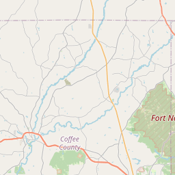
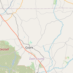
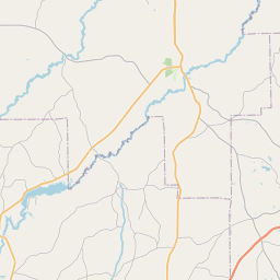
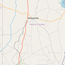
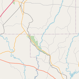
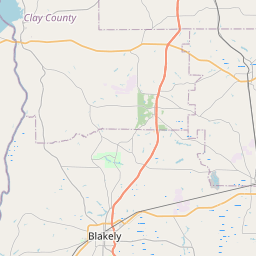
Leaflet | <a href="https://www.openstreetmap.org/copyright">© OpenStreetMap contributors</a>
Item
| Property | Value |
|---|---|
| id | 2539495 |
| downstream_mainstem_id | https://geoconnex.us/ref/mainstems/2539213 |
| encompassing_mainstem_basins | ['https://geoconnex.us/ref/mainstems/2539213', 'https://geoconnex.us/ref/mainstems/2538842'] |
| featuretype | ['https://www.opengis.net/def/schema/hy_features/hyf/HY_FlowPath', 'https://www.opengis.net/def/schema/hy_features/hyf/HY_WaterBody'] |
| fid | 5038 |
| head_2020huc12 | 031402010802 |
| head_nhdpv1_comid | 2187675 |
| head_nhdpv2_comid | https://geoconnex.us/nhdplusv2/comid/2187675 |
| head_nhdpv2huc12 | https://geoconnex.us/nhdplusv2/huc12/031402010802 |
| head_rf1id | 7913 |
| lengthkm | 19.1 |
| name_at_outlet | Steep Head Creek |
| name_at_outlet_gnis_id | 153564 |
| new_mainstemid | |
| outlet_2020huc12 | 031402010802 |
| outlet_drainagearea_sqkm | 166.7 |
| outlet_nhdpv1_comid | 2187909 |
| outlet_nhdpv2_comid | https://geoconnex.us/nhdplusv2/comid/2187909 |
| outlet_nhdpv2huc12 | https://geoconnex.us/nhdplusv2/huc12/031402010802 |
| outlet_rf1id | 7911 |
| superseded | False |
| uri | https://geoconnex.us/ref/mainstems/2539495 |