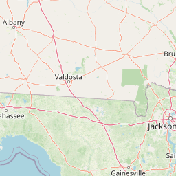
Olustee Creek
Map


Leaflet | <a href="https://www.openstreetmap.org/copyright">© OpenStreetMap contributors</a>
Item
| Property | Value |
|---|---|
| id | 2546667 |
| downstream_mainstem_id | https://geoconnex.us/ref/mainstems/2546174 |
| encompassing_mainstem_basins | ['https://geoconnex.us/ref/mainstems/2546174', 'https://geoconnex.us/ref/mainstems/2545920'] |
| featuretype | ['https://www.opengis.net/def/schema/hy_features/hyf/HY_FlowPath', 'https://www.opengis.net/def/schema/hy_features/hyf/HY_WaterBody'] |
| fid | 5110 |
| head_2020huc12 | 031403020101 |
| head_nhdpv1_comid | 2322192 |
| head_nhdpv2_comid | https://geoconnex.us/nhdplusv2/comid/2322192 |
| head_nhdpv2huc12 | https://geoconnex.us/nhdplusv2/huc12/031403020101 |
| head_rf1id | 8073 |
| lengthkm | 33.5 |
| name_at_outlet | Olustee Creek |
| name_at_outlet_gnis_id | 152811 |
| new_mainstemid | |
| outlet_2020huc12 | 031403020102 |
| outlet_drainagearea_sqkm | 200.5 |
| outlet_nhdpv1_comid | 2323646 |
| outlet_nhdpv2_comid | https://geoconnex.us/nhdplusv2/comid/2323646 |
| outlet_nhdpv2huc12 | https://geoconnex.us/nhdplusv2/huc12/031403020102 |
| outlet_rf1id | 8058 |
| superseded | False |
| uri | https://geoconnex.us/ref/mainstems/2546667 |