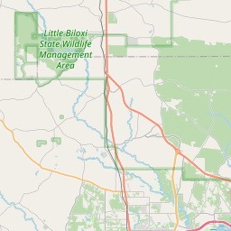
Franklin Creek
Map
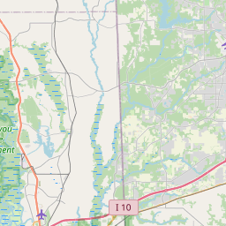
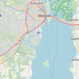
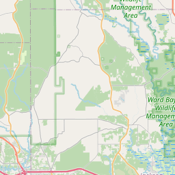
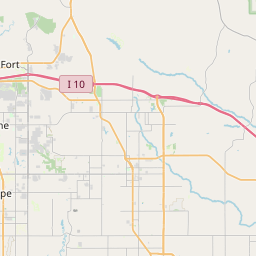
Leaflet | <a href="https://www.openstreetmap.org/copyright">© OpenStreetMap contributors</a>
Item
| Property | Value |
|---|---|
| id | 2567366 |
| downstream_mainstem_id | https://geoconnex.us/ref/mainstems/2567183 |
| encompassing_mainstem_basins | ['https://geoconnex.us/ref/mainstems/2567183'] |
| featuretype | ['https://www.opengis.net/def/schema/hy_features/hyf/HY_FlowPath', 'https://www.opengis.net/def/schema/hy_features/hyf/HY_WaterBody'] |
| fid | 5915 |
| head_2020huc12 | 031700080702 |
| head_nhdpv1_comid | 18096049 |
| head_nhdpv2_comid | https://geoconnex.us/nhdplusv2/comid/18096049 |
| head_nhdpv2huc12 | https://geoconnex.us/nhdplusv2/huc12/031700080702 |
| head_rf1id | 9448 |
| lengthkm | 18.6 |
| name_at_outlet | Franklin Creek |
| name_at_outlet_gnis_id | 670163 |
| new_mainstemid | |
| outlet_2020huc12 | 031700080702 |
| outlet_drainagearea_sqkm | 82.0 |
| outlet_nhdpv1_comid | 18096299 |
| outlet_nhdpv2_comid | https://geoconnex.us/nhdplusv2/comid/18096299 |
| outlet_nhdpv2huc12 | https://geoconnex.us/nhdplusv2/huc12/031700080702 |
| outlet_rf1id | 9448 |
| superseded | False |
| uri | https://geoconnex.us/ref/mainstems/2567366 |