North Branch Rapid River
Map
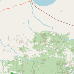
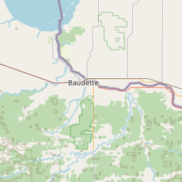
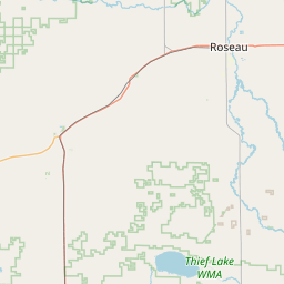
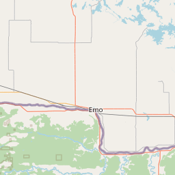
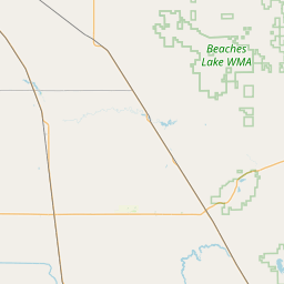
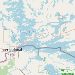
Leaflet | <a href="https://www.openstreetmap.org/copyright">© OpenStreetMap contributors</a>
Item
| Property | Value |
|---|---|
| id | 2591261 |
| downstream_mainstem_id | https://geoconnex.us/ref/mainstems/2590799 |
| encompassing_mainstem_basins | ['https://geoconnex.us/ref/mainstems/2590799', 'https://geoconnex.us/ref/mainstems/2589861'] |
| featuretype | ['https://www.opengis.net/def/schema/hy_features/hyf/HY_FlowPath', 'https://www.opengis.net/def/schema/hy_features/hyf/HY_WaterBody'] |
| fid | 14417 |
| head_2020huc12 | 090300070302 |
| head_nhdpv1_comid | 7742296 |
| head_nhdpv2_comid | https://geoconnex.us/nhdplusv2/comid/7742296 |
| head_nhdpv2huc12 | https://geoconnex.us/nhdplusv2/huc12/090300070302 |
| head_rf1id | 37788 |
| lengthkm | 64.3 |
| name_at_outlet | North Branch Rapid River |
| name_at_outlet_gnis_id | 648616 |
| new_mainstemid | |
| outlet_2020huc12 | 090300070305 |
| outlet_drainagearea_sqkm | 479.2 |
| outlet_nhdpv1_comid | 7741650 |
| outlet_nhdpv2_comid | https://geoconnex.us/nhdplusv2/comid/7741650 |
| outlet_nhdpv2huc12 | https://geoconnex.us/nhdplusv2/huc12/090300070305 |
| outlet_rf1id | 37788 |
| superseded | False |
| uri | https://geoconnex.us/ref/mainstems/2591261 |