West Branch Zippel Creek
Map
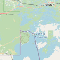
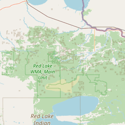
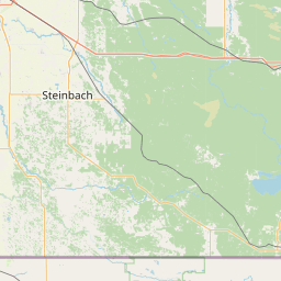

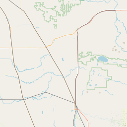
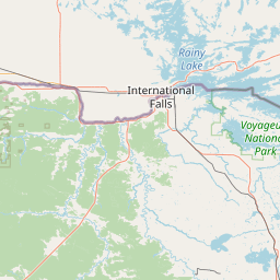
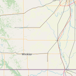
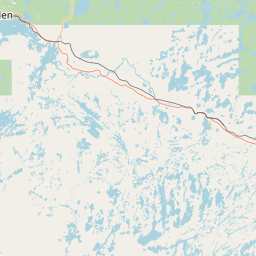
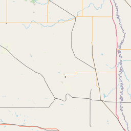
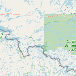
Leaflet | <a href="https://www.openstreetmap.org/copyright">© OpenStreetMap contributors</a>
Item
| Property | Value |
|---|---|
| id | 2591855 |
| downstream_mainstem_id | |
| encompassing_mainstem_basins | |
| featuretype | ['https://www.opengis.net/def/schema/hy_features/hyf/HY_FlowPath', 'https://www.opengis.net/def/schema/hy_features/hyf/HY_WaterBody'] |
| fid | 34027 |
| head_2020huc12 | |
| head_nhdpv1_comid | 7748408 |
| head_nhdpv2_comid | https://geoconnex.us/nhdplusv2/comid/7748408 |
| head_nhdpv2huc12 | https://geoconnex.us/nhdplusv2/huc12/090300090202 |
| head_rf1id | 37811 |
| lengthkm | 22.7 |
| name_at_outlet | West Branch Zippel Creek |
| name_at_outlet_gnis_id | 653943 |
| new_mainstemid | ['https://geoconnex.us/ref/mainstems/2613958'] |
| outlet_2020huc12 | |
| outlet_drainagearea_sqkm | 250.9 |
| outlet_nhdpv1_comid | 7750272 |
| outlet_nhdpv2_comid | https://geoconnex.us/nhdplusv2/comid/7750272 |
| outlet_nhdpv2huc12 | https://geoconnex.us/nhdplusv2/huc12/090300090202 |
| outlet_rf1id | 37811 |
| superseded | True |
| uri | https://geoconnex.us/ref/mainstems/2591855 |