Cochino Bayou
Map
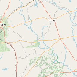
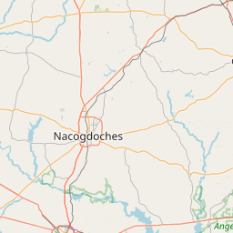
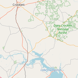
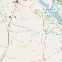
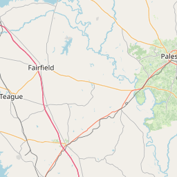
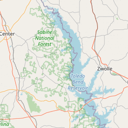
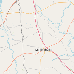
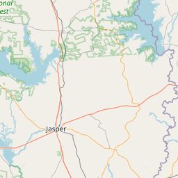
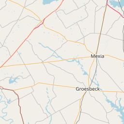
Leaflet | <a href="https://www.openstreetmap.org/copyright">© OpenStreetMap contributors</a>
Item
| Property | Value |
|---|---|
| id | 2603580 |
| downstream_mainstem_id | https://geoconnex.us/ref/mainstems/2602412 |
| encompassing_mainstem_basins | ['https://geoconnex.us/ref/mainstems/2602412'] |
| featuretype | ['https://www.opengis.net/def/schema/hy_features/hyf/HY_FlowPath', 'https://www.opengis.net/def/schema/hy_features/hyf/HY_WaterBody'] |
| fid | 22736 |
| head_2020huc12 | 120200020202 |
| head_nhdpv1_comid | 1079841 |
| head_nhdpv2_comid | https://geoconnex.us/nhdplusv2/comid/1079841 |
| head_nhdpv2huc12 | https://geoconnex.us/nhdplusv2/huc12/120200020202 |
| head_rf1id | 38080 |
| lengthkm | 44.3 |
| name_at_outlet | Cochino Bayou |
| name_at_outlet_gnis_id | 1354716 |
| new_mainstemid | |
| outlet_2020huc12 | 120200020203 |
| outlet_drainagearea_sqkm | 267.0 |
| outlet_nhdpv1_comid | 1078359 |
| outlet_nhdpv2_comid | https://geoconnex.us/nhdplusv2/comid/1078359 |
| outlet_nhdpv2huc12 | https://geoconnex.us/nhdplusv2/huc12/120200020203 |
| outlet_rf1id | 38080 |
| superseded | False |
| uri | https://geoconnex.us/ref/mainstems/2603580 |