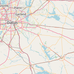
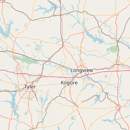
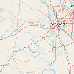
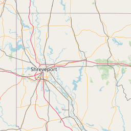
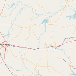
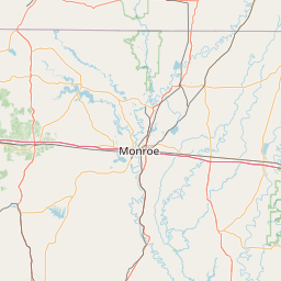
Prairie Creek
Map
Leaflet | <a href="https://www.openstreetmap.org/copyright">© OpenStreetMap contributors</a>
Item
| Property | Value |
|---|---|
| id | 2604437 |
| downstream_mainstem_id | https://geoconnex.us/ref/mainstems/2602992 |
| encompassing_mainstem_basins | ['https://geoconnex.us/ref/mainstems/2602992', 'https://geoconnex.us/ref/mainstems/2602713', 'https://geoconnex.us/ref/mainstems/2602412'] |
| featuretype | ['https://www.opengis.net/def/schema/hy_features/hyf/HY_FlowPath', 'https://www.opengis.net/def/schema/hy_features/hyf/HY_WaterBody'] |
| fid | 22790 |
| head_2020huc12 | 120200040103 |
| head_nhdpv1_comid | 1148231 |
| head_nhdpv2_comid | https://geoconnex.us/nhdplusv2/comid/1148231 |
| head_nhdpv2huc12 | https://geoconnex.us/nhdplusv2/huc12/120200040103 |
| head_rf1id | 39987 |
| lengthkm | 19.0 |
| name_at_outlet | Prairie Creek |
| name_at_outlet_gnis_id | 1344490 |
| new_mainstemid | |
| outlet_2020huc12 | 120200040103 |
| outlet_drainagearea_sqkm | 124.7 |
| outlet_nhdpv1_comid | 1148271 |
| outlet_nhdpv2_comid | https://geoconnex.us/nhdplusv2/comid/1148271 |
| outlet_nhdpv2huc12 | https://geoconnex.us/nhdplusv2/huc12/120200040103 |
| outlet_rf1id | 38122 |
| superseded | False |
| uri | https://geoconnex.us/ref/mainstems/2604437 |