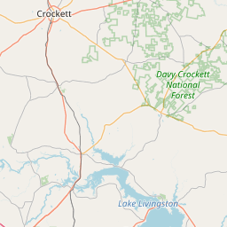
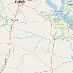
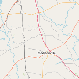
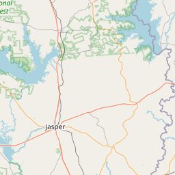
Dabbs Branch
Map
Leaflet | <a href="https://www.openstreetmap.org/copyright">© OpenStreetMap contributors</a>
Item
| Property | Value |
|---|---|
| id | 2605060 |
| downstream_mainstem_id | https://geoconnex.us/ref/mainstems/2604090 |
| encompassing_mainstem_basins | ['https://geoconnex.us/ref/mainstems/2604090', 'https://geoconnex.us/ref/mainstems/2602412'] |
| featuretype | ['https://www.opengis.net/def/schema/hy_features/hyf/HY_FlowPath', 'https://www.opengis.net/def/schema/hy_features/hyf/HY_WaterBody'] |
| fid | 22745 |
| head_2020huc12 | |
| head_nhdpv1_comid | 1081125 |
| head_nhdpv2_comid | https://geoconnex.us/nhdplusv2/comid/1081125 |
| head_nhdpv2huc12 | |
| head_rf1id | None |
| lengthkm | 16.9 |
| name_at_outlet | Dabbs Branch |
| name_at_outlet_gnis_id | 1355533 |
| new_mainstemid | |
| outlet_2020huc12 | |
| outlet_drainagearea_sqkm | 79.0 |
| outlet_nhdpv1_comid | 1080941 |
| outlet_nhdpv2_comid | https://geoconnex.us/nhdplusv2/comid/1080941 |
| outlet_nhdpv2huc12 | |
| outlet_rf1id | None |
| superseded | False |
| uri | https://geoconnex.us/ref/mainstems/2605060 |