Funks Creek
Map
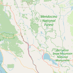
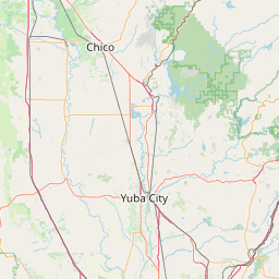
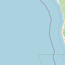
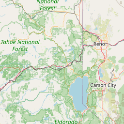

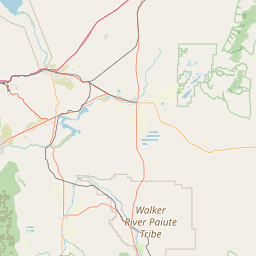
Leaflet | <a href="https://www.openstreetmap.org/copyright">© OpenStreetMap contributors</a>
Item
| Property | Value |
|---|---|
| id | 3066 |
| downstream_mainstem_id | https://geoconnex.us/ref/mainstems/2379 |
| encompassing_mainstem_basins | ['https://geoconnex.us/ref/mainstems/2379', 'https://geoconnex.us/ref/mainstems/1212', 'https://geoconnex.us/ref/mainstems/1'] |
| featuretype | ['https://www.opengis.net/def/schema/hy_features/hyf/HY_FlowPath', 'https://www.opengis.net/def/schema/hy_features/hyf/HY_WaterBody'] |
| fid | 32406 |
| head_2020huc12 | 180201040601 |
| head_nhdpv1_comid | 2847977 |
| head_nhdpv2_comid | https://geoconnex.us/nhdplusv2/comid/2847977 |
| head_nhdpv2huc12 | https://geoconnex.us/nhdplusv2/huc12/180201040601 |
| head_rf1id | None |
| lengthkm | 49.3 |
| name_at_outlet | Funks Creek |
| name_at_outlet_gnis_id | 233914 |
| new_mainstemid | |
| outlet_2020huc12 | 180201040602 |
| outlet_drainagearea_sqkm | 165.7 |
| outlet_nhdpv1_comid | 2847665 |
| outlet_nhdpv2_comid | https://geoconnex.us/nhdplusv2/comid/2847665 |
| outlet_nhdpv2huc12 | https://geoconnex.us/nhdplusv2/huc12/180201040602 |
| outlet_rf1id | None |
| superseded | False |
| uri | https://geoconnex.us/ref/mainstems/3066 |