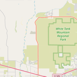
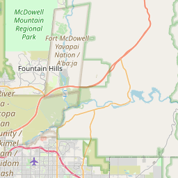
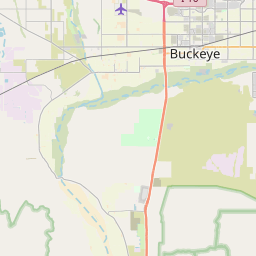
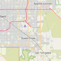
Salt River
Map
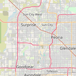
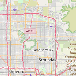
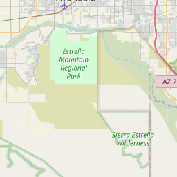
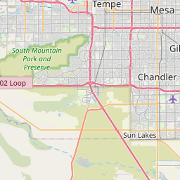
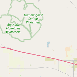
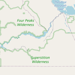
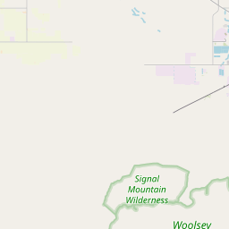
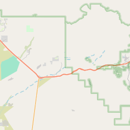
Leaflet | <a href="https://www.openstreetmap.org/copyright">© OpenStreetMap contributors</a>
Item
| Property | Value |
|---|---|
| id | 325166 |
| downstream_mainstem_id | https://geoconnex.us/ref/mainstems/32464 |
| encompassing_mainstem_basins | ['https://geoconnex.us/ref/mainstems/32464', 'https://geoconnex.us/ref/mainstems/31261', 'https://geoconnex.us/ref/mainstems/29559'] |
| featuretype | ['https://www.opengis.net/def/schema/hy_features/hyf/HY_FlowPath', 'https://www.opengis.net/def/schema/hy_features/hyf/HY_WaterBody'] |
| fid | 33874 |
| head_2020huc12 | |
| head_nhdpv1_comid | 20480334 |
| head_nhdpv2_comid | https://geoconnex.us/nhdplusv2/comid/20480334 |
| head_nhdpv2huc12 | |
| head_rf1id | None |
| lengthkm | 3.7 |
| name_at_outlet | Salt River |
| name_at_outlet_gnis_id | 33995 |
| new_mainstemid | |
| outlet_2020huc12 | |
| outlet_drainagearea_sqkm | 54.9 |
| outlet_nhdpv1_comid | 20483140 |
| outlet_nhdpv2_comid | https://geoconnex.us/nhdplusv2/comid/20483140 |
| outlet_nhdpv2huc12 | |
| outlet_rf1id | None |
| superseded | False |
| uri | https://geoconnex.us/ref/mainstems/325166 |