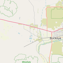
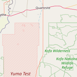
Gila River
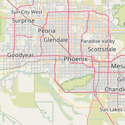
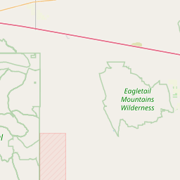
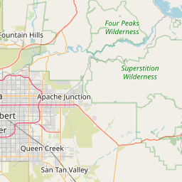
Map
Leaflet | <a href="https://www.openstreetmap.org/copyright">© OpenStreetMap contributors</a>
Item
| Property | Value |
|---|---|
| id | 344075 |
| downstream_mainstem_id | https://geoconnex.us/ref/mainstems/343928 |
| encompassing_mainstem_basins | ['https://geoconnex.us/ref/mainstems/343928', 'https://geoconnex.us/ref/mainstems/31261', 'https://geoconnex.us/ref/mainstems/29559'] |
| featuretype | ['https://www.opengis.net/def/schema/hy_features/hyf/HY_FlowPath', 'https://www.opengis.net/def/schema/hy_features/hyf/HY_WaterBody'] |
| fid | 33876 |
| head_2020huc12 | |
| head_nhdpv1_comid | 20427042 |
| head_nhdpv2_comid | https://geoconnex.us/nhdplusv2/comid/20427042 |
| head_nhdpv2huc12 | |
| head_rf1id | None |
| lengthkm | 24.9 |
| name_at_outlet | Gila River |
| name_at_outlet_gnis_id | 42838 |
| new_mainstemid | |
| outlet_2020huc12 | |
| outlet_drainagearea_sqkm | 128.0 |
| outlet_nhdpv1_comid | 20427028 |
| outlet_nhdpv2_comid | https://geoconnex.us/nhdplusv2/comid/20427028 |
| outlet_nhdpv2huc12 | |
| outlet_rf1id | None |
| superseded | False |
| uri | https://geoconnex.us/ref/mainstems/344075 |