Turtle Creek
Map


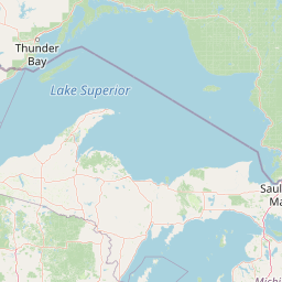
Leaflet | <a href="https://www.openstreetmap.org/copyright">© OpenStreetMap contributors</a>
Item
| Property | Value |
|---|---|
| id | 379579 |
| downstream_mainstem_id | |
| encompassing_mainstem_basins | |
| featuretype | ['https://www.opengis.net/def/schema/hy_features/hyf/HY_FlowPath', 'https://www.opengis.net/def/schema/hy_features/hyf/HY_WaterBody'] |
| fid | 34029 |
| head_2020huc12 | |
| head_nhdpv1_comid | 14517997 |
| head_nhdpv2_comid | https://geoconnex.us/nhdplusv2/comid/14517997 |
| head_nhdpv2huc12 | https://geoconnex.us/nhdplusv2/huc12/101301010202 |
| head_rf1id | 26472 |
| lengthkm | 102.1 |
| name_at_outlet | Turtle Creek |
| name_at_outlet_gnis_id | 1032549 |
| new_mainstemid | ['https://geoconnex.us/ref/mainstems/1060256', 'https://geoconnex.us/ref/mainstems/1060393', 'https://geoconnex.us/ref/mainstems/1060327'] |
| outlet_2020huc12 | |
| outlet_drainagearea_sqkm | 1232.8 |
| outlet_nhdpv1_comid | 14521945 |
| outlet_nhdpv2_comid | https://geoconnex.us/nhdplusv2/comid/14521945 |
| outlet_nhdpv2huc12 | https://geoconnex.us/nhdplusv2/huc12/101301010403 |
| outlet_rf1id | 26472 |
| superseded | True |
| uri | https://geoconnex.us/ref/mainstems/379579 |