South Fork Snake Creek
Map
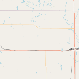
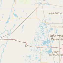
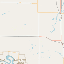
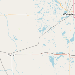
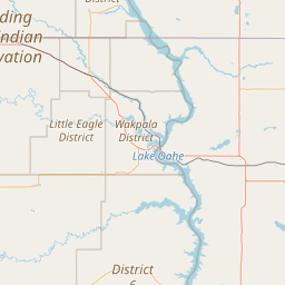
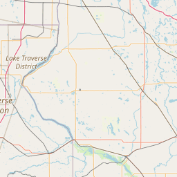
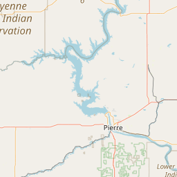
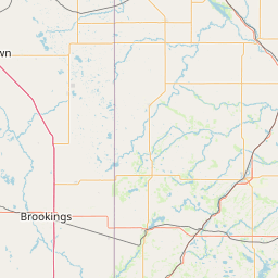
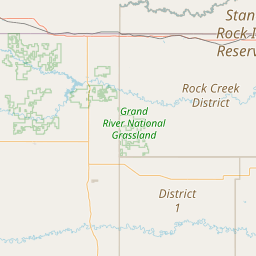
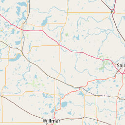
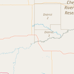
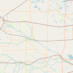
Leaflet | <a href="https://www.openstreetmap.org/copyright">© OpenStreetMap contributors</a>
Item
| Property | Value |
|---|---|
| id | 381927 |
| downstream_mainstem_id | https://geoconnex.us/ref/mainstems/375290 |
| encompassing_mainstem_basins | ['https://geoconnex.us/ref/mainstems/375290', 'https://geoconnex.us/ref/mainstems/324168', 'https://geoconnex.us/ref/mainstems/312532', 'https://geoconnex.us/ref/mainstems/312091'] |
| featuretype | ['https://www.opengis.net/def/schema/hy_features/hyf/HY_FlowPath', 'https://www.opengis.net/def/schema/hy_features/hyf/HY_WaterBody'] |
| fid | 17480 |
| head_2020huc12 | |
| head_nhdpv1_comid | 12554746 |
| head_nhdpv2_comid | https://geoconnex.us/nhdplusv2/comid/12554746 |
| head_nhdpv2huc12 | |
| head_rf1id | 27684 |
| lengthkm | 184.0 |
| name_at_outlet | South Fork Snake Creek |
| name_at_outlet_gnis_id | 1258191 |
| new_mainstemid | |
| outlet_2020huc12 | |
| outlet_drainagearea_sqkm | 3862.2 |
| outlet_nhdpv1_comid | 12556916 |
| outlet_nhdpv2_comid | https://geoconnex.us/nhdplusv2/comid/12556916 |
| outlet_nhdpv2huc12 | |
| outlet_rf1id | 27662 |
| superseded | False |
| uri | https://geoconnex.us/ref/mainstems/381927 |