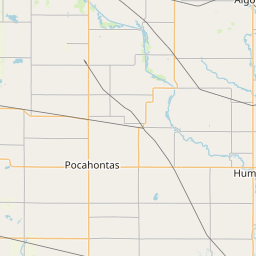
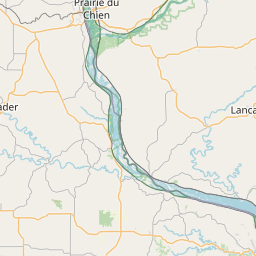
Beaver Creek
Map
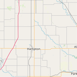
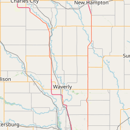
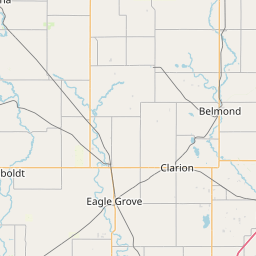
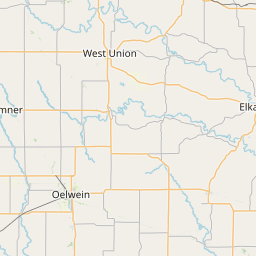
Leaflet | <a href="https://www.openstreetmap.org/copyright">© OpenStreetMap contributors</a>
Item
| Property | Value |
|---|---|
| id | 384099 |
| downstream_mainstem_id | https://geoconnex.us/ref/mainstems/325557 |
| encompassing_mainstem_basins | ['https://geoconnex.us/ref/mainstems/325557', 'https://geoconnex.us/ref/mainstems/324976', 'https://geoconnex.us/ref/mainstems/312091'] |
| featuretype | ['https://www.opengis.net/def/schema/hy_features/hyf/HY_FlowPath', 'https://www.opengis.net/def/schema/hy_features/hyf/HY_WaterBody'] |
| fid | 11604 |
| head_2020huc12 | 070802050201 |
| head_nhdpv1_comid | 22472333 |
| head_nhdpv2_comid | https://geoconnex.us/nhdplusv2/comid/22472333 |
| head_nhdpv2huc12 | https://geoconnex.us/nhdplusv2/huc12/070802050201 |
| head_rf1id | 18992 |
| lengthkm | 89.3 |
| name_at_outlet | Beaver Creek |
| name_at_outlet_gnis_id | 454441 |
| new_mainstemid | |
| outlet_2020huc12 | 070802050304 |
| outlet_drainagearea_sqkm | 1033.3 |
| outlet_nhdpv1_comid | 22472153 |
| outlet_nhdpv2_comid | https://geoconnex.us/nhdplusv2/comid/22472153 |
| outlet_nhdpv2huc12 | https://geoconnex.us/nhdplusv2/huc12/070802050304 |
| outlet_rf1id | 18989 |
| superseded | False |
| uri | https://geoconnex.us/ref/mainstems/384099 |
Graph Results
| monitoringLocation | https://sta.geoconnex.dev/collections/USGS/Things/items/'USGS-05463000' |
|---|---|
| siteName | USGS-05463000 |
| datasetDescription | Gage height / USGS-05463000-2a6d4b72dbbe4239b7716b507100d5b4 |
| type | Stream |
| url | https://waterdata.usgs.gov/monitoring-location/05463000/#parameterCode=00065 |
| variableMeasured | Gage height / USGS-05463000-2a6d4b72dbbe4239b7716b507100d5b4 |
| variableUnit | ft |
| measurementTechnique | observation |
| temporalCoverage | 2024-08-30T09:15:00Z/2024-09-09T18:00:00Z |
| distributionName | USGS Instantaneous Values Service |
| distributionURL | https://waterservices.usgs.gov/nwis/iv/?sites=USGS:05463000¶meterCd=00065&format=rdb |
| distributionFormat | text/tab-separated-values |
| wkt | POINT (-92.6182777777778 42.572) |
| monitoringLocation | https://sta.geoconnex.dev/collections/USGS/Things/items/'USGS-05463000' |
|---|---|
| siteName | USGS-05463000 |
| datasetDescription | Gage height / USGS-05463000-2a6d4b72dbbe4239b7716b507100d5b4 |
| type | Stream |
| url | https://waterdata.usgs.gov/monitoring-location/05463000/#parameterCode=00065 |
| variableMeasured | Gage height / USGS-05463000-2a6d4b72dbbe4239b7716b507100d5b4 |
| variableUnit | ft |
| measurementTechnique | observation |
| temporalCoverage | 2024-08-30T09:15:00Z/2024-09-09T18:00:00Z |
| distributionName | USGS SensorThings API |
| distributionURL | https://labs.waterdata.usgs.gov/sta/v1.1/Datastreams('2a6d4b72dbbe4239b7716b507100d5b4')?$expand=Thing,Observations |
| distributionFormat | application/json |
| wkt | POINT (-92.6182777777778 42.572) |
| monitoringLocation | https://sta.geoconnex.dev/collections/USGS/Things/items/'USGS-05463000' |
|---|---|
| siteName | USGS-05463000 |
| datasetDescription | Discharge / USGS-05463000-0480fc31c37445f3a6d48bdba5f072ba |
| type | Stream |
| url | https://waterdata.usgs.gov/monitoring-location/05463000/#parameterCode=00060 |
| variableMeasured | Discharge / USGS-05463000-0480fc31c37445f3a6d48bdba5f072ba |
| variableUnit | ft^3/s |
| measurementTechnique | observation |
| temporalCoverage | 2024-08-30T09:15:00Z/2024-09-09T18:00:00Z |
| distributionName | USGS Instantaneous Values Service |
| distributionURL | https://waterservices.usgs.gov/nwis/iv/?sites=USGS:05463000¶meterCd=00060&format=rdb |
| distributionFormat | text/tab-separated-values |
| wkt | POINT (-92.6182777777778 42.572) |
| monitoringLocation | https://sta.geoconnex.dev/collections/USGS/Things/items/'USGS-05463000' |
|---|---|
| siteName | USGS-05463000 |
| datasetDescription | Discharge / USGS-05463000-0480fc31c37445f3a6d48bdba5f072ba |
| type | Stream |
| url | https://waterdata.usgs.gov/monitoring-location/05463000/#parameterCode=00060 |
| variableMeasured | Discharge / USGS-05463000-0480fc31c37445f3a6d48bdba5f072ba |
| variableUnit | ft^3/s |
| measurementTechnique | observation |
| temporalCoverage | 2024-08-30T09:15:00Z/2024-09-09T18:00:00Z |
| distributionName | USGS SensorThings API |
| distributionURL | https://labs.waterdata.usgs.gov/sta/v1.1/Datastreams('0480fc31c37445f3a6d48bdba5f072ba')?$expand=Thing,Observations |
| distributionFormat | application/json |
| wkt | POINT (-92.6182777777778 42.572) |