Bogue Chitto Creek
Map


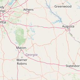
Leaflet | <a href="https://www.openstreetmap.org/copyright">© OpenStreetMap contributors</a>
Item
| Property | Value |
|---|---|
| id | 384850 |
| downstream_mainstem_id | https://geoconnex.us/ref/mainstems/328164 |
| encompassing_mainstem_basins | ['https://geoconnex.us/ref/mainstems/328164', 'https://geoconnex.us/ref/mainstems/312091'] |
| featuretype | ['https://www.opengis.net/def/schema/hy_features/hyf/HY_FlowPath', 'https://www.opengis.net/def/schema/hy_features/hyf/HY_WaterBody'] |
| fid | 13705 |
| head_2020huc12 | 080602020602 |
| head_nhdpv1_comid | 19184852 |
| head_nhdpv2_comid | https://geoconnex.us/nhdplusv2/comid/19184852 |
| head_nhdpv2huc12 | https://geoconnex.us/nhdplusv2/huc12/080602020602 |
| head_rf1id | 21485 |
| lengthkm | 47.9 |
| name_at_outlet | Bogue Chitto Creek |
| name_at_outlet_gnis_id | 667383 |
| new_mainstemid | |
| outlet_2020huc12 | 080602020604 |
| outlet_drainagearea_sqkm | 397.7 |
| outlet_nhdpv1_comid | 19181502 |
| outlet_nhdpv2_comid | https://geoconnex.us/nhdplusv2/comid/19181502 |
| outlet_nhdpv2huc12 | https://geoconnex.us/nhdplusv2/huc12/080602020604 |
| outlet_rf1id | 21485 |
| superseded | False |
| uri | https://geoconnex.us/ref/mainstems/384850 |