Eau Galle River
Map
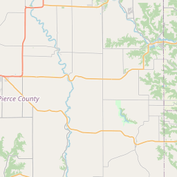

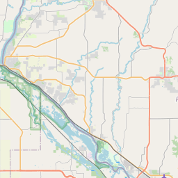
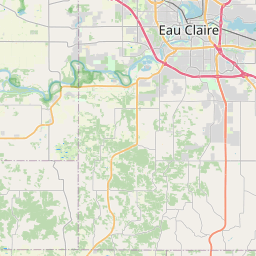
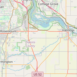
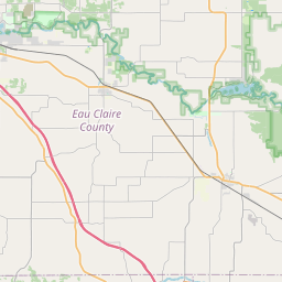
Leaflet | <a href="https://www.openstreetmap.org/copyright">© OpenStreetMap contributors</a>
Item
| Property | Value |
|---|---|
| id | 389998 |
| downstream_mainstem_id | https://geoconnex.us/ref/mainstems/333963 |
| encompassing_mainstem_basins | ['https://geoconnex.us/ref/mainstems/333963', 'https://geoconnex.us/ref/mainstems/312091'] |
| featuretype | ['https://www.opengis.net/def/schema/hy_features/hyf/HY_FlowPath', 'https://www.opengis.net/def/schema/hy_features/hyf/HY_WaterBody'] |
| fid | 11054 |
| head_2020huc12 | 070500051001 |
| head_nhdpv1_comid | 13105427 |
| head_nhdpv2_comid | https://geoconnex.us/nhdplusv2/comid/13105427 |
| head_nhdpv2huc12 | https://geoconnex.us/nhdplusv2/huc12/070500051001 |
| head_rf1id | 18294 |
| lengthkm | 81.5 |
| name_at_outlet | Eau Galle River |
| name_at_outlet_gnis_id | 1581625 |
| new_mainstemid | |
| outlet_2020huc12 | 070500051008 |
| outlet_drainagearea_sqkm | 642.7 |
| outlet_nhdpv1_comid | 13107357 |
| outlet_nhdpv2_comid | https://geoconnex.us/nhdplusv2/comid/13107357 |
| outlet_nhdpv2huc12 | https://geoconnex.us/nhdplusv2/huc12/070500051008 |
| outlet_rf1id | 18294 |
| superseded | False |
| uri | https://geoconnex.us/ref/mainstems/389998 |