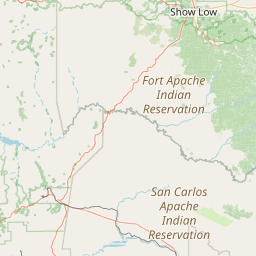
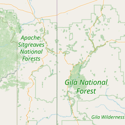
Willow Creek
Map
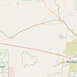
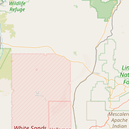
Leaflet | <a href="https://www.openstreetmap.org/copyright">© OpenStreetMap contributors</a>
Item
| Property | Value |
|---|---|
| id | 39044 |
| downstream_mainstem_id | https://geoconnex.us/ref/mainstems/34960 |
| encompassing_mainstem_basins | ['https://geoconnex.us/ref/mainstems/34960', 'https://geoconnex.us/ref/mainstems/31261', 'https://geoconnex.us/ref/mainstems/29559'] |
| featuretype | ['https://www.opengis.net/def/schema/hy_features/hyf/HY_FlowPath', 'https://www.opengis.net/def/schema/hy_features/hyf/HY_WaterBody'] |
| fid | 27086 |
| head_2020huc12 | 150400050103 |
| head_nhdpv1_comid | 21325395 |
| head_nhdpv2_comid | https://geoconnex.us/nhdplusv2/comid/21325395 |
| head_nhdpv2huc12 | https://geoconnex.us/nhdplusv2/huc12/150400050103 |
| head_rf1id | 43943 |
| lengthkm | 41.9 |
| name_at_outlet | Willow Creek |
| name_at_outlet_gnis_id | 36232 |
| new_mainstemid | |
| outlet_2020huc12 | 150400050105 |
| outlet_drainagearea_sqkm | 389.5 |
| outlet_nhdpv1_comid | 21322499 |
| outlet_nhdpv2_comid | https://geoconnex.us/nhdplusv2/comid/21322499 |
| outlet_nhdpv2huc12 | https://geoconnex.us/nhdplusv2/huc12/150400050105 |
| outlet_rf1id | 43943 |
| superseded | False |
| uri | https://geoconnex.us/ref/mainstems/39044 |