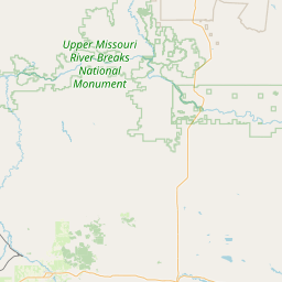
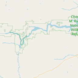
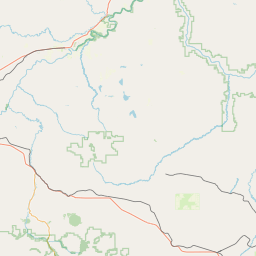
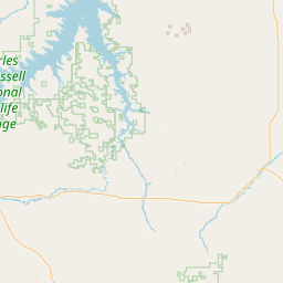
Sacagawea River
Map
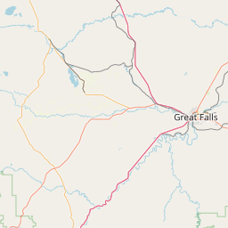
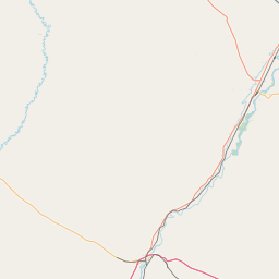
Leaflet | <a href="https://www.openstreetmap.org/copyright">© OpenStreetMap contributors</a>
Item
| Property | Value |
|---|---|
| id | 390604 |
| downstream_mainstem_id | https://geoconnex.us/ref/mainstems/333165 |
| encompassing_mainstem_basins | ['https://geoconnex.us/ref/mainstems/333165', 'https://geoconnex.us/ref/mainstems/312532', 'https://geoconnex.us/ref/mainstems/312091'] |
| featuretype | ['https://www.opengis.net/def/schema/hy_features/hyf/HY_FlowPath', 'https://www.opengis.net/def/schema/hy_features/hyf/HY_WaterBody'] |
| fid | 15140 |
| head_2020huc12 | 100402050601 |
| head_nhdpv1_comid | 12721288 |
| head_nhdpv2_comid | https://geoconnex.us/nhdplusv2/comid/12721288 |
| head_nhdpv2huc12 | https://geoconnex.us/nhdplusv2/huc12/100402050601 |
| head_rf1id | 30351 |
| lengthkm | 156.0 |
| name_at_outlet | Sacagawea River |
| name_at_outlet_gnis_id | 770322 |
| new_mainstemid | |
| outlet_2020huc12 | 100402050804 |
| outlet_drainagearea_sqkm | 1004.8 |
| outlet_nhdpv1_comid | 12360395 |
| outlet_nhdpv2_comid | https://geoconnex.us/nhdplusv2/comid/12360395 |
| outlet_nhdpv2huc12 | https://geoconnex.us/nhdplusv2/huc12/100402050804 |
| outlet_rf1id | 31116 |
| superseded | False |
| uri | https://geoconnex.us/ref/mainstems/390604 |