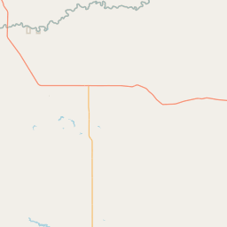
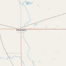
Cedar Creek
Map
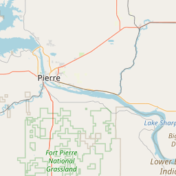
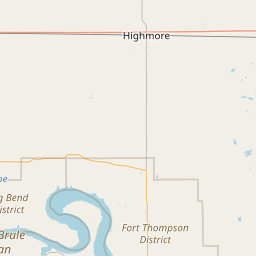
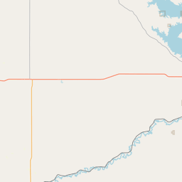
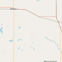
Leaflet | <a href="https://www.openstreetmap.org/copyright">© OpenStreetMap contributors</a>
Item
| Property | Value |
|---|---|
| id | 399165 |
| downstream_mainstem_id | https://geoconnex.us/ref/mainstems/312532 |
| encompassing_mainstem_basins | ['https://geoconnex.us/ref/mainstems/312532', 'https://geoconnex.us/ref/mainstems/312091'] |
| featuretype | ['https://www.opengis.net/def/schema/hy_features/hyf/HY_FlowPath', 'https://www.opengis.net/def/schema/hy_features/hyf/HY_WaterBody'] |
| fid | 17130 |
| head_2020huc12 | 101401010402 |
| head_nhdpv1_comid | 11543472 |
| head_nhdpv2_comid | https://geoconnex.us/nhdplusv2/comid/11543472 |
| head_nhdpv2huc12 | https://geoconnex.us/nhdplusv2/huc12/101401010402 |
| head_rf1id | 28037 |
| lengthkm | 58.8 |
| name_at_outlet | Cedar Creek |
| name_at_outlet_gnis_id | 1265150 |
| new_mainstemid | |
| outlet_2020huc12 | 101401010406 |
| outlet_drainagearea_sqkm | 431.8 |
| outlet_nhdpv1_comid | 11546620 |
| outlet_nhdpv2_comid | https://geoconnex.us/nhdplusv2/comid/11546620 |
| outlet_nhdpv2huc12 | https://geoconnex.us/nhdplusv2/huc12/101401010406 |
| outlet_rf1id | 28095 |
| superseded | False |
| uri | https://geoconnex.us/ref/mainstems/399165 |